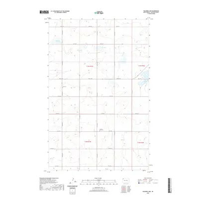
2020 Map of Tom Berg Lake
USGS Topo · Published 2020About this map
Tom Berg Lake and the winding Little Muddy River define this rural landscape in Williams County, where the high plains of North Dakota are punctuated by numerous glacial depressions and wetlands. The map reveals a highly structured grid of section lines and county roads, reflecting the enduring legacy of the Public Land Survey System in this agricultural region. Evidence of early settlement and community history is preserved in the presence of Bethel Cem and the Saint Paul Lutheran Cem, which stand as quiet landmarks among the fields. The terrain is characterized by a series of larger water bodies, including Peterson Slough, Berg Slough, and Helle Slough, illustrating the importance of these prairie potholes to the local hydrology and ecosystem. This survey offers a clear view of the rural infrastructure and natural drainage patterns that have shaped the area's development.
Find a feature on this map
27 named features on this map. Tap any name to fly to it.
Don’t see what you’re looking for? This feature index may not catch every label — zoom into the map to look around manually.
Map Details
Editions of this 2020 Tom Berg Lake Map
This is the sole edition of this map. No revisions or reprints were ever made.
Other maps of this area

1911 · Ray
USGS Topo · 1:125,000

1948 · Alamo N.E.
USGS Topo · 1:24,000

1953 · Williston
USGS Topo · 1:250,000

1957 · Williston
USGS Topo · 1:250,000

1974 · Wildrose
USGS Topo · 1:24,000

1974 · Tom Berg Lake
USGS Topo · 1:24,000

1974 · Hamlet
USGS Topo · 1:24,000

1974 · Big Meadow
USGS Topo · 1:24,000

1978 · Corinth
USGS Topo · 1:24,000

1978 · Temple
USGS Topo · 1:24,000