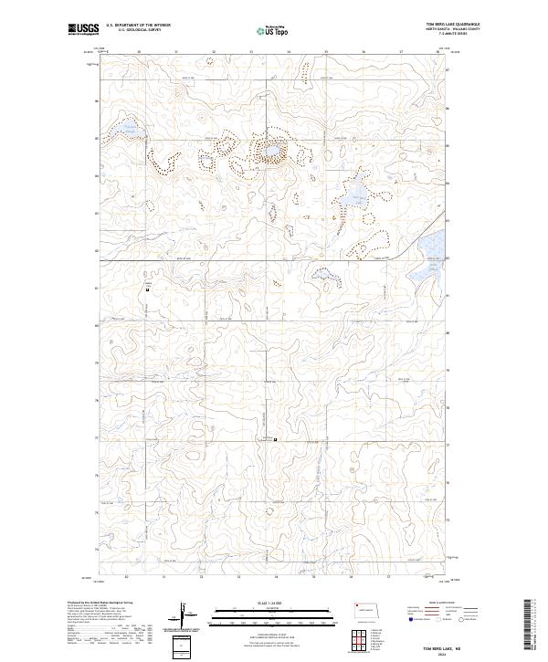
2024 Map of Tom Berg Lake
USGS Topo · Published 2024About this map
Saint Paul Lutheran Cem and Bethel Cem stand as significant local landmarks in this rural portion of Williams County. The landscape is defined by the Little Muddy River and an extensive network of wetlands and sloughs, including Peterson Slough, Black Slough, and Berg Slough. These features, along with Tom Berg Lake, illustrate the intricate drainage patterns characteristic of this prairie region.
Find a feature on this map
22 named features on this map. Tap any name to fly to it.
Don’t see what you’re looking for? This feature index may not catch every label — zoom into the map to look around manually.
Map Details
Editions of this 2024 Tom Berg Lake Map
This is the sole edition of this map. No revisions or reprints were ever made.
Other maps of this area

1911 · Ray
USGS Topo · 1:125,000

1948 · Alamo N.E.
USGS Topo · 1:24,000

1953 · Williston
USGS Topo · 1:250,000

1957 · Williston
USGS Topo · 1:250,000

1974 · Wildrose
USGS Topo · 1:24,000

1974 · Tom Berg Lake
USGS Topo · 1:24,000

1974 · Hamlet
USGS Topo · 1:24,000

1974 · Big Meadow
USGS Topo · 1:24,000

1978 · Corinth
USGS Topo · 1:24,000

1978 · Temple
USGS Topo · 1:24,000