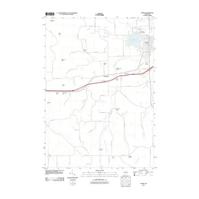
2010 Map of Tomah
USGS Topo · Published 2010About this map
Tomah serves as the focal point of this Monroe County landscape, situated where the South Fork Lemonweir River and Council Creek drain the surrounding valleys. The town's layout is anchored by the Tomah Post Office and Lake Tomah, which is formed by the Tomah Lake 2 WP 258 Dam. The topography is defined by a series of named hollows and bluffs, including Jacksonville Valley, Reels Valley, and Perry Valley, alongside prominent landmarks like Pikes Peak and Windrow Bluff. For genealogists, the map is particularly rich with rural burial sites, featuring the Saint Marys Cemetery near the town center and scattered rural grounds such as Saint Johns Cemetery and Worden-Burroughs Cemetery. This 2010 survey illustrates the modern road network intersecting with long-established features like Jacksonville Pass and the settlement at Raymore.
Find a feature on this map
68 named features on this map. Tap any name to fly to it.
Don’t see what you’re looking for? This feature index may not catch every label — zoom into the map to look around manually.
Map Details
Editions of this 2010 Tomah Map
This is the sole edition of this map. No revisions or reprints were ever made.
Other maps of this area

1916 · Tomah
USGS Topo · 1:62,500

1919 · Kendall
USGS Topo · 1:62,500

1921 · Kendall
USGS Topo · 1:62,500

1947 · Millston
USGS Topo · 1:62,500

1949 · Millston
USGS Topo · 1:62,500

1949 · Tomah
USGS Topo · 1:62,500

1953 · Eau Claire
USGS Topo · 1:250,000

1958 · Eau Claire
USGS Topo · 1:250,000

1958 · Wyeville
USGS Topo · 1:48,000

1958 · La Crosse
USGS Topo · 1:250,000