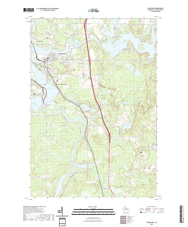
2022 Map of Tomahawk
USGS Topo · Published 2022About this map
The Wisconsin River winds through the heart of this Northwoods landscape, where the city of Tomahawk serves as the focal point for a complex network of waterways and flowages. The convergence of the river with the Spirit River Flowage and Jersey City Flowage creates the expansive Lake Mohawksin, defining the geography of Jersey City and West Kraft. These water bodies, many formed for industrial and power purposes, highlight the region's historical reliance on timber and hydro-resources.
Find a feature on this map
73 named features on this map. Tap any name to fly to it.
Don’t see what you’re looking for? This feature index may not catch every label — zoom into the map to look around manually.
Map Details
Editions of this 2022 Tomahawk Map
This is the sole edition of this map. No revisions or reprints were ever made.
Other maps of this area

1939 · Mc Cord
USGS Topo · 1:48,000

1939 · Cassian
USGS Topo · 1:48,000

1942 · Cassian
USGS Topo · 1:48,000

1947 · Mc Cord
USGS Topo · 1:48,000

1950 · Tomahawk
USGS Topo · 1:48,000

1950 · Spirit Falls
USGS Topo · 1:48,000

1952 · Spirit Falls
USGS Topo · 1:48,000

1952 · Tomahawk
USGS Topo · 1:48,000

1954 · Iron Mountain
USGS Topo · 1:250,000

1959 · Iron Mountain
USGS Topo · 1:250,000