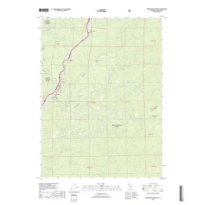
2018 Map of Tombstone Mountain
USGS Topo · Published 2018About this map
The Sacramento River carves through this northern stretch of the Shasta National Forest, serving as the primary corridor for transportation and settlement in a landscape of dramatic elevation. Small enclaves like Sims and Sims Flat occupy the narrow river terraces, while the surrounding terrain is defined by steep ridges and deep drainages. The topography is anchored by landmarks such as Tombstone Mtn and Tater Hill, with a complex network of waterways including Hazel Cr and Sweetbrier Cr feeding the main river channel. High-altitude springs like Big Spring and isolated points like Scorpion Gulch illustrate the varying water sources across the watershed. A system of forest roads, such as Girard Ridge Rd and Flume Creek Rd, provides access to the timberlands and high ridges, tracing the historical movement of people and resources through this part of Shasta County.
Find a feature on this map
35 named features on this map. Tap any name to fly to it.
Don’t see what you’re looking for? This feature index may not catch every label — zoom into the map to look around manually.
Map Details
Editions of this 2018 Tombstone Mountain Map
This is the sole edition of this map. No revisions or reprints were ever made.
Other maps of this area

1886 · Shasta
USGS Topo · 1:250,000

1890 · Red Bluff
USGS Topo · 1:250,000

1894 · Red Bluff
USGS Topo · 1:250,000

1894 · Shasta
USGS Topo · 1:250,000

1901 · Redding
USGS Topo · 1:125,000

1935 · Dunsmuir
USGS Topo · 1:125,000

1946 · Lamoine
USGS Topo · 1:62,500

1948 · Weed
USGS Topo · 1:250,000

1949 · Bollibokka Mtn
USGS Topo · 1:62,500

1950 · Weed
USGS Topo · 1:250,000