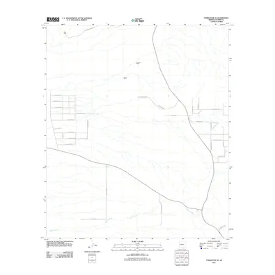
2011 Map of Tombstone SE
USGS Topo · Published 2011About this map
Keller Ranch and Trappman Ranch anchor the high desert landscape of Cochise County in this 2011 survey. The terrain is defined by a dendritic network of ephemeral washes feeding into Banning Creek, which winds through the southern portion of the quadrangle. The settlement pattern reveals a grid of rural residential development in the west, with colorful local street names like E Birdcage St, E Watering Hole St, and E Silver Spur St reflecting the region's ranching heritage. Farther east, larger holdings like the Johnson Ranch dominate the open space. The infrastructure is primarily composed of unpaved ranch roads and tracks, such as Sharpshooter Rd and N Pinter Ranch Rd, which navigate the drainage basins and low-lying desert floor.
Find a feature on this map
33 named features on this map. Tap any name to fly to it.
Don’t see what you’re looking for? This feature index may not catch every label — zoom into the map to look around manually.
Map Details
Editions of this 2011 Tombstone SE Map
This is the sole edition of this map. No revisions or reprints were ever made.
Other maps of this area

1902 · Bisbee
USGS Topo · 1:62,500

1910 · Bisbee
USGS Topo · 1:62,500

1914 · Hereford
USGS Topo · 1:125,000

1915 · Benson
USGS Topo · 1:125,000

1916 · Pearce
USGS Topo · 1:125,000

1916 · Douglas
USGS Topo · 1:125,000

1919 · Douglas
USGS Topo · 1:125,000

1925 · Gleeson
USGS Topo · 1:62,500

1927 · Bisbee
USGS Topo · 1:62,500

1932 · Stark
USGS Topo · 1:62,500