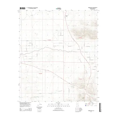
2014 Map of Tombstone SE
USGS Topo · Published 2014About this map
The Mule Mountains dominate the southeastern landscape of this Cochise County quadrangle, where the high desert terrain transitions into rugged peaks. This 2014 survey documents a network of rural ranch roads and residential developments named for local families and Western lore, including S Helen Rose Ln and S Patera Ranch RD. The mapping captures the modern configuration of transportation corridors like Az-80 and Az-90, which intersect amidst a landscape defined by seasonal watercourses like Banning Cr. Local aviation history is grounded at the Rancho San Marcos Airport, while street names such as E Birdcage St and N Clanton Ave evoke the historic legacy of the nearby mining district and its storied past.
Find a feature on this map
42 named features on this map. Tap any name to fly to it.
Don’t see what you’re looking for? This feature index may not catch every label — zoom into the map to look around manually.
Map Details
Editions of this 2014 Tombstone SE Map
This is the sole edition of this map. No revisions or reprints were ever made.
Other maps of this area

1902 · Bisbee
USGS Topo · 1:62,500

1910 · Bisbee
USGS Topo · 1:62,500

1914 · Hereford
USGS Topo · 1:125,000

1915 · Benson
USGS Topo · 1:125,000

1916 · Pearce
USGS Topo · 1:125,000

1916 · Douglas
USGS Topo · 1:125,000

1919 · Douglas
USGS Topo · 1:125,000

1925 · Gleeson
USGS Topo · 1:62,500

1927 · Bisbee
USGS Topo · 1:62,500

1932 · Stark
USGS Topo · 1:62,500