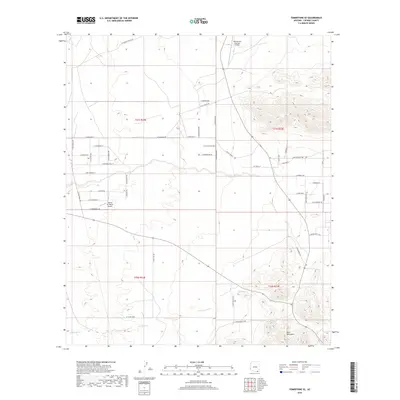
2018 Map of Tombstone SE
USGS Topo · Published 2018About this map
The Mule Mountains dominate the southeastern landscape of this Cochise County region, giving way to a network of rural ranch roads and private airfields. The area is defined by its transition from high desert terrain to organized ranching tracts, where names like E Birdcage St, E Watering Hole St, and E Silver Spur St reflect the heritage of the American West. Aviation is central to the local infrastructure, with both the Rancho San Marcos Airport and Skyline Air Ranch Airport serving this spread-out community.
Find a feature on this map
47 named features on this map. Tap any name to fly to it.
Don’t see what you’re looking for? This feature index may not catch every label — zoom into the map to look around manually.
Map Details
Editions of this 2018 Tombstone SE Map
This is the sole edition of this map. No revisions or reprints were ever made.
Other maps of this area

1902 · Bisbee
USGS Topo · 1:62,500

1910 · Bisbee
USGS Topo · 1:62,500

1914 · Hereford
USGS Topo · 1:125,000

1915 · Benson
USGS Topo · 1:125,000

1916 · Pearce
USGS Topo · 1:125,000

1916 · Douglas
USGS Topo · 1:125,000

1919 · Douglas
USGS Topo · 1:125,000

1925 · Gleeson
USGS Topo · 1:62,500

1927 · Bisbee
USGS Topo · 1:62,500

1932 · Stark
USGS Topo · 1:62,500