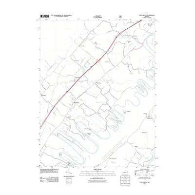
2011 Map of Toms Brook
USGS Topo · Published 2011About this map
The North Fork Shenandoah River snakes in tight oxbows through this portion of the Shenandoah Valley, carving a landscape defined by prominent ridges such as Rhodes Ridge and Cox Ridge. This modern survey documents the established valley settlements of Toms Brook, Maurertown, and Harrisville, situated along the historic corridor of the Valley Pike. Local genealogy and land use are well-represented by a concentration of burial grounds, including Valley Pike Cemetery, Saint Johns Cemetery, and Mount Hebron Cemetery.
Find a feature on this map
101 named features on this map. Tap any name to fly to it.
Don’t see what you’re looking for? This feature index may not catch every label — zoom into the map to look around manually.
Map Details
Editions of this 2011 Toms Brook Map
This is the sole edition of this map. No revisions or reprints were ever made.
Other maps of this area

1891 · Romney
USGS Topo · 1:125,000

1892 · Woodstock
USGS Topo · 1:125,000

1893 · Luray
USGS Topo · 1:125,000

1894 · Winchester
USGS Topo · 1:125,000

1905 · Luray
USGS Topo · 1:125,000

1922 · Wardensville
USGS Topo · 1:62,500

1923 · Middletown
USGS Topo · 1:62,500

1923 · Edinburg
USGS Topo · 1:62,500

1924 · Wardensville
USGS Topo · 1:62,500

1937 · Middletown
USGS Topo · 1:48,000