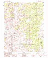
1988 Map of Tomsich Butte
USGS Topo · Published 1988About this map
Tomsich Butte rises as a central landmark in this 1980s landscape of the San Rafael Swell, where the erosion of the Colorado Plateau has created a complex network of canyons and high ridges. The area is defined by massive geological formations like The Dike and the expansive The Big Ridge, separating distinct regions known locally as Hondu Country and Sinbad Country. Human activity in this desert environment is evidenced by several adits and a prospect, suggesting a history of mineral exploration common to this part of Emery County. Drainage is dominated by the winding path of Muddy Creek, which cuts through the southern reaches near The Pasture. Critical water sources for travelers and livestock are specifically noted at Secret Springs and Cistern Tanks, highlighting the essential landmarks of a dry and demanding territory.
Find a feature on this map
17 named features on this map. Tap any name to fly to it.
Don’t see what you’re looking for? This feature index may not catch every label — zoom into the map to look around manually.
Map Details
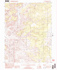
Editions of this 1988 Tomsich Butte Map
2 editions found
Other maps of this area

1885 · San Rafael
USGS Topo · 1:250,000

1885 · Fish Lake
USGS Topo · 1:250,000

1896 · Fish Lake
USGS Topo · 1:250,000

1952 · Wild Horse
USGS Topo · 1:62,500

1952 · San Rafael Knob
USGS Topo · 1:62,500

1953 · Stinking Spring Creek 2 SE
USGS Topo · 1:24,000

1953 · Emery 4 NE
USGS Topo · 1:24,000

1953 · Emery 4 SE
USGS Topo · 1:24,000

1953 · Emery 1 SE
USGS Topo · 1:24,000

1954 · Stinking Spring Creek 3 NW
USGS Topo · 1:24,000