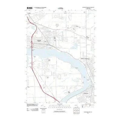
2010 Map of Tonawanda West
USGS Topo · Published 2010About this map
The Niagara River splits around Grand Island and Buckhorn Island in this 2010 survey of the border region. The landscape is defined by the convergence of industrial legacy and residential growth, most notably near the Love Canal site and the neighboring Black Creek Village. To the north, the Niagara Falls International Airport dominates the upper reaches of the map, while the residential grids of North Tonawanda and Tonawanda flank the river's eastern banks. Numerous cemeteries, including Saint Johns Cemetery and White Haven Cemetery, provide valuable anchor points for genealogists tracing family histories in the communities of Bergholtz and Saint Johnsburg. The intricate waterway network, featuring Cayuga Creek and Bergholtz Creek, illustrates the complex drainage patterns that shaped the development of La Salle and the surrounding suburban townships.
Find a feature on this map
70 named features on this map. Tap any name to fly to it.
Don’t see what you’re looking for? This feature index may not catch every label — zoom into the map to look around manually.
Map Details
Editions of this 2010 Tonawanda West Map
This is the sole edition of this map. No revisions or reprints were ever made.
Other maps of this area

1894 · Buffalo
USGS Topo · 1:62,500

1894 · Niagara Falls
USGS Topo · 1:62,500

1896 · Niagara Falls
USGS Topo · 1:62,500

1897 · Tonawanda
USGS Topo · 1:62,500

1899 · Niagara
USGS Topo · 1:125,000

1900 · Tonawanda
USGS Topo · 1:62,500

1900 · Niagara Falls
USGS Topo · 1:62,500

1901 · Buffalo
USGS Topo · 1:62,500

1901 · Niagara Falls
USGS Topo · 1:62,500

1901 · Tonawanda
USGS Topo · 1:62,500