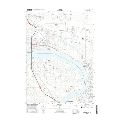
2016 Map of Tonawanda West
USGS Topo · Published 2016About this map
The Niagara River serves as the dominant geographical feature of this region, separating Niagara Co and Erie Co while framing the expansive reach of Grand Island. This mid-2010s survey reveals a dense network of suburban development and industrial infrastructure situated between the cities of Niagara Falls and North Tonawanda. The northern section is marked by the presence of the Niagara Falls International Airport and several historic religious community anchors such as Bergholtz and Saint Johnsburg, each identified by clusters of cemeteries including Saint Pauls Cem and Holy Ghost Cem.
Find a feature on this map
91 named features on this map. Tap any name to fly to it.
Don’t see what you’re looking for? This feature index may not catch every label — zoom into the map to look around manually.
Map Details
Editions of this 2016 Tonawanda West Map
This is the sole edition of this map. No revisions or reprints were ever made.
Other maps of this area

1894 · Buffalo
USGS Topo · 1:62,500

1894 · Niagara Falls
USGS Topo · 1:62,500

1896 · Niagara Falls
USGS Topo · 1:62,500

1897 · Tonawanda
USGS Topo · 1:62,500

1899 · Niagara
USGS Topo · 1:125,000

1900 · Tonawanda
USGS Topo · 1:62,500

1900 · Niagara Falls
USGS Topo · 1:62,500

1901 · Buffalo
USGS Topo · 1:62,500

1901 · Niagara Falls
USGS Topo · 1:62,500

1901 · Tonawanda
USGS Topo · 1:62,500