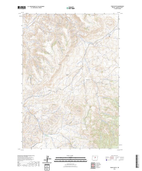
2024 Map of Toney Butte
USGS Topo · Published 2024About this map
The John Day Wild and Scenic River flows through the northwestern corner of this landscape, marking a transition from riverine canyon to a high interior of ridges and gaps. The terrain is defined by prominent family-named elevations like Mabe Hill and Horse Mtn, which rise above a network of drainages including Shoofly Creek and Tamarack Creek. For local historians and genealogists, the Richmond Cem near Keys Reservoir provides a primary point of interest, situated among the township boundaries of T9S and T10S. This 2024 map documents a rugged landscape characterized by geological features such as The Blue Banks and Black Rock Canyon, illustrating the continued isolation and complex topography of Wheeler County. The presence of numerous named water sources like May Spring and Quaking Aspen Spring hints at the historical reliance on these specific points for survival in the arid Oregon high country.
Find a feature on this map
42 named features on this map. Tap any name to fly to it.
Don’t see what you’re looking for? This feature index may not catch every label — zoom into the map to look around manually.
Map Details
Editions of this 2024 Toney Butte Map
This is the sole edition of this map. No revisions or reprints were ever made.
Other maps of this area

1926 · Mitchell
USGS Topo · 1:125,000

1953 · Richmond
USGS Topo · 1:62,500

1953 · Spray
USGS Topo · 1:62,500

1955 · Bend
USGS Topo · 1:250,000

1955 · Canyon City
USGS Topo · 1:250,000

1957 · Bend
USGS Topo · 1:250,000

1958 · Bend
USGS Topo · 1:250,000

1959 · Canyon City
USGS Topo · 1:250,000

1966 · Mitchell
USGS Topo · 1:62,500

1966 · Kinzua
USGS Topo · 1:62,500