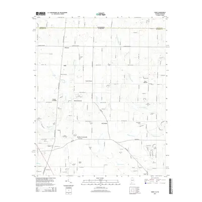
2014 Map of Toney
USGS Topo · Published 2014About this map
Madison Crossroads and the surrounding farmland of northern Madison County are defined by a network of historic crossroads and family cemeteries that trace the area's agricultural roots. The terrain is marked by the winding paths of Brier Fork Flint River and its tributaries, including Banyon Swamp Cr and Limestone Cr. This 2014 survey reveals a landscape where modern transportation, like Al-53 and the Hazel Green Airport, exists alongside legacy identifiers such as Old Railroad Bed Rd. Genealogical researchers will find a significant concentration of burial sites, from the Golightly Cem and Chandler Cem in the north near the Tennessee state line to New Sharon Cem and Kincaid Cem further south. Small community centers like Bobo, Carter Grove, and Toney remain distinct anchors within the rural grid of Madison County.
Find a feature on this map
126 named features on this map. Tap any name to fly to it.
Don’t see what you’re looking for? This feature index may not catch every label — zoom into the map to look around manually.
Map Details
Editions of this 2014 Toney Map
This is the sole edition of this map. No revisions or reprints were ever made.
Other maps of this area

1888 · Huntsville
USGS Topo · 1:125,000

1892 · Huntsville
USGS Topo · 1:125,000

1936 · Jeff
USGS Topo · 1:24,000

1936 · Capshaw
USGS Topo · 1:24,000

1936 · Taft
USGS Topo · 1:24,000

1936 · Meridianville
USGS Topo · 1:24,000

1936 · Fisk
USGS Topo · 1:24,000

1936 · Ardmore
USGS Topo · 1:24,000

1936 · Lincoln
USGS Topo · 1:24,000

1936 · Toney
USGS Topo · 1:24,000