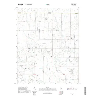
2018 Map of Toney
USGS Topo · Published 2018About this map
State Line Road defines the northern edge of this Madison County landscape, marking the boundary between Alabama and Tennessee. The area is characterized by dispersed rural settlements such as Bobo, Toney, and Carter Grove, connected by a network of local routes like Pulaski Pike and Wall Triana Highway. The terrain is shaped by the winding course of the Brier Fork Flint River and its numerous tributaries, including Beaverdam Creek and Banyan Swamp Creek. Small-scale aviation is a distinct local feature, evidenced by several private facilities including the Hazel Green Airport and Big Sky Airport. For those researching local families, the map provides precise locations for many burial sites, from the Golightly Cemetery in the north to the Ellis Cemetery in the southeast, alongside historically significant junctions like Ready Crossing and Five Points.
Find a feature on this map
146 named features on this map. Tap any name to fly to it.
Don’t see what you’re looking for? This feature index may not catch every label — zoom into the map to look around manually.
Map Details
Editions of this 2018 Toney Map
This is the sole edition of this map. No revisions or reprints were ever made.
Other maps of this area

1888 · Huntsville
USGS Topo · 1:125,000

1892 · Huntsville
USGS Topo · 1:125,000

1936 · Jeff
USGS Topo · 1:24,000

1936 · Capshaw
USGS Topo · 1:24,000

1936 · Taft
USGS Topo · 1:24,000

1936 · Meridianville
USGS Topo · 1:24,000

1936 · Fisk
USGS Topo · 1:24,000

1936 · Ardmore
USGS Topo · 1:24,000

1936 · Lincoln
USGS Topo · 1:24,000

1936 · Toney
USGS Topo · 1:24,000