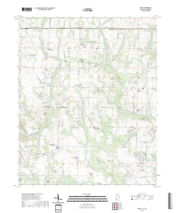
2024 Map of Toney
USGS Topo · Published 2024About this map
Brier Fork Flint River and its numerous tributaries, including Banyan Swamp Creek and Beaverdam Creek, define the fertile landscape of the Alabama-Tennessee border. This modern survey reveals a region of Madison County characterized by scattered rural settlements such as Ready Crossing, Carter Grove, and Bobo. The presence of Old Railroad Bed Rd suggests a former transportation corridor that once linked these communities. Genealogy interests are well-served by the density of burial sites, ranging from established markers like Elkwood Cem and New Sharon Cem to more contemporary additions like The Good Earth Burial Ground. Small-scale aviation is also a notable feature of the local economy and culture, evidenced by Hazel Green Acres Airport and the Elkwood Airpark. The area around Toney and Madison Crossroads shows a transition toward more structured residential development, though it remains framed by traditional family-named landmarks like Murphy Hill Cem and Cole Holloway Cem.
Find a feature on this map
151 named features on this map. Tap any name to fly to it.
Don’t see what you’re looking for? This feature index may not catch every label — zoom into the map to look around manually.
Map Details
Editions of this 2024 Toney Map
This is the sole edition of this map. No revisions or reprints were ever made.
Other maps of this area

1888 · Huntsville
USGS Topo · 1:125,000

1892 · Huntsville
USGS Topo · 1:125,000

1936 · Jeff
USGS Topo · 1:24,000

1936 · Capshaw
USGS Topo · 1:24,000

1936 · Taft
USGS Topo · 1:24,000

1936 · Meridianville
USGS Topo · 1:24,000

1936 · Fisk
USGS Topo · 1:24,000

1936 · Ardmore
USGS Topo · 1:24,000

1936 · Lincoln
USGS Topo · 1:24,000

1936 · Toney
USGS Topo · 1:24,000