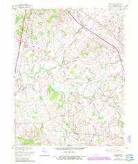
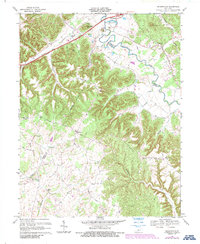
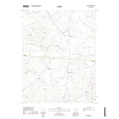
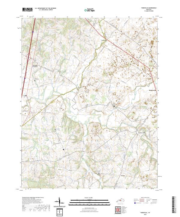
1960 Map of Tonieville
USGS Topo · Published 1988About this map
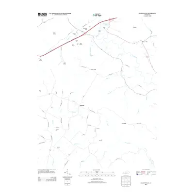
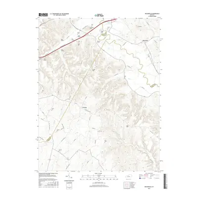
Tonieville and the winding course of the Nolin River define this rural Kentucky landscape at the border of Hardin and Larue counties. This edition reflects mid-century settlement patterns as documented in 1960, featuring several small community hubs such as Eagle Mills and Mathers Mill. The transportation network is notably varied, showing both the modern Interchange 86 and an Old Railroad Grade that speaks to earlier transit corridors.
Find a feature on this map
31 named features on this map. Tap any name to fly to it.
Don’t see what you’re looking for? This feature index may not catch every label — zoom into the map to look around manually.
Map Details
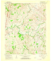
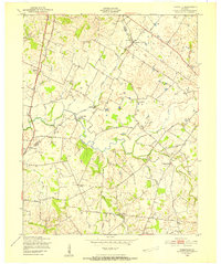
Editions of this 1960 Tonieville Map
2 editions found
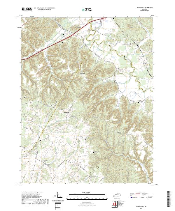
Historical Maps of Hodgenville Through Time
22 maps found
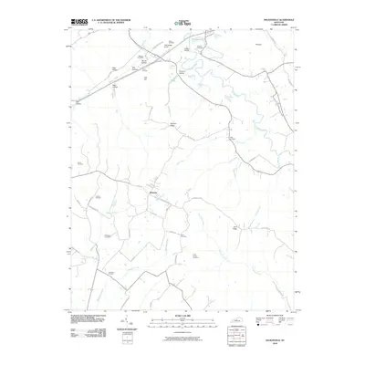
1949 Tonieville
Larue County, KY

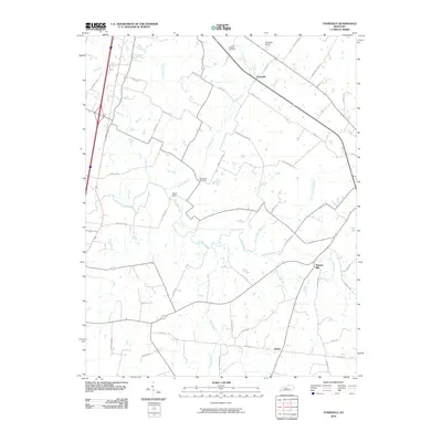
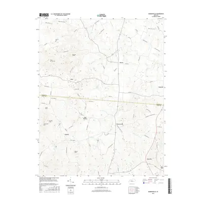
1953 Nelsonville
Larue County, KY
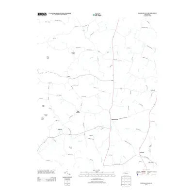
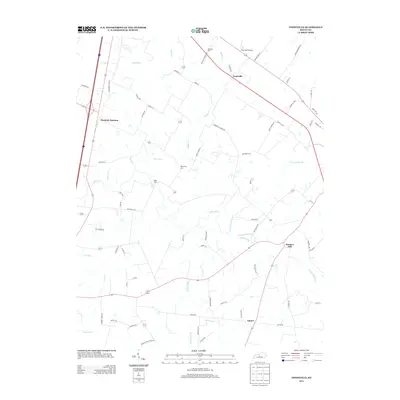
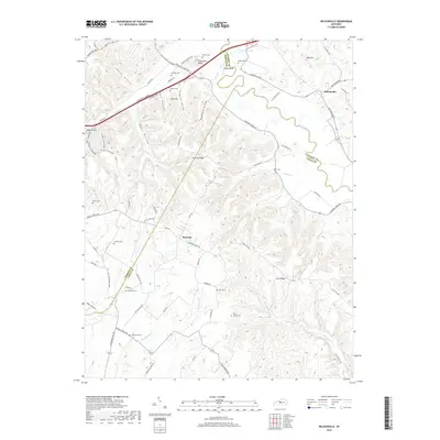
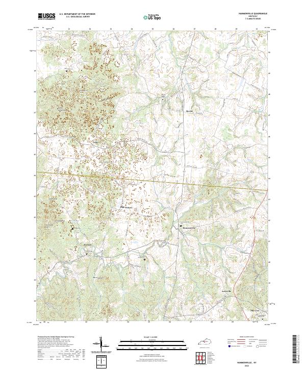
1954 Hammonville
Larue County, KY
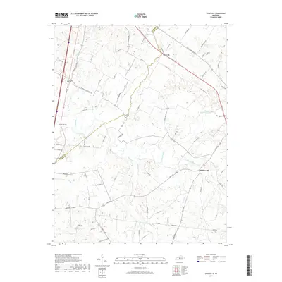
1960 Tonieville
Larue County, KY
1967 Nelsonville
Larue County, KY
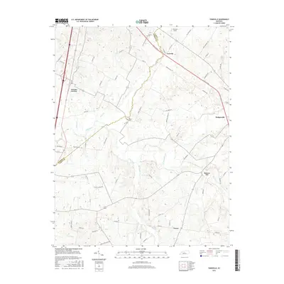
1979 Tonieville
Larue County, KY
1992 Tonieville
Larue County, KY
2010 Hammonville
Larue County, KY
2010 Nelsonville
Larue County, KY
2010 Tonieville
Larue County, KY
2013 Hammonville
Larue County, KY
2013 Nelsonville
Larue County, KY
2013 Tonieville
Larue County, KY
2016 Hammonville
Larue County, KY
2016 Nelsonville
Larue County, KY
2016 Tonieville
Larue County, KY
2019 Hammonville
Larue County, KY
2019 Nelsonville
Larue County, KY
2019 Tonieville
Larue County, KY
2022 Hammonville
Larue County, KY
2022 Nelsonville
Larue County, KY
2022 Tonieville
Larue County, KY