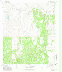
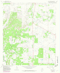
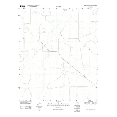
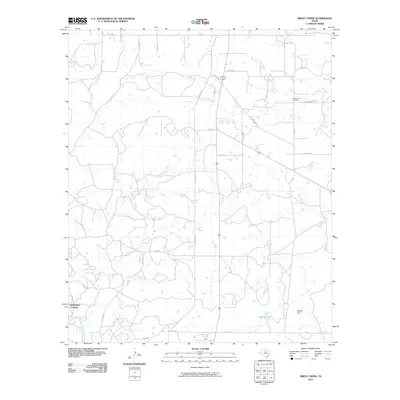
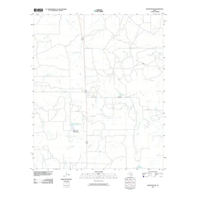
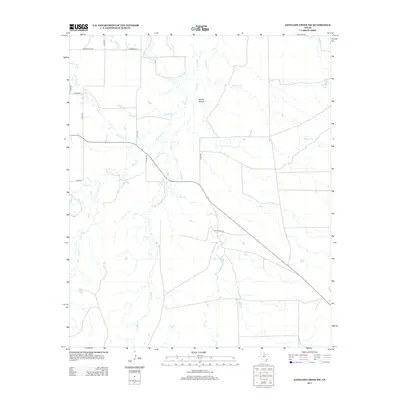
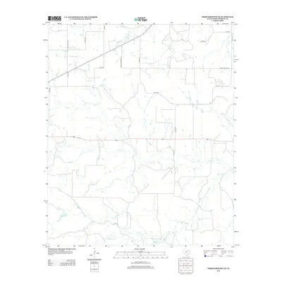
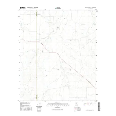
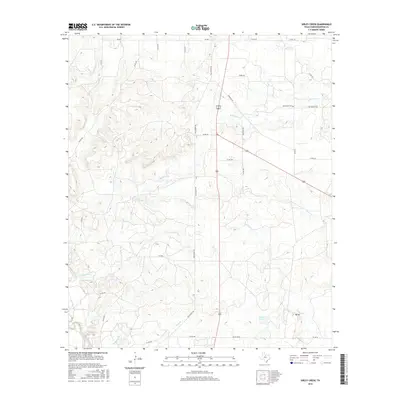
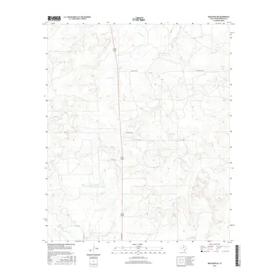
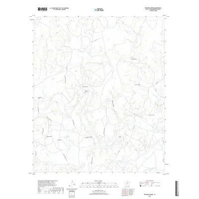
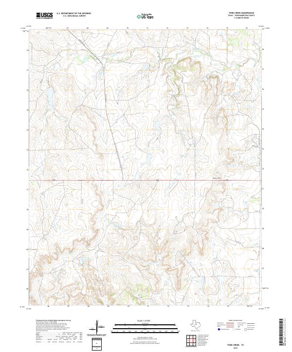
1966 Map of Tonk Creek
USGS Topo · Published 1982About this map
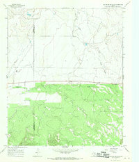
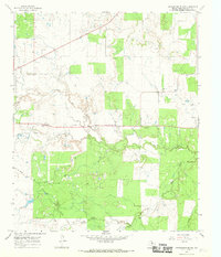
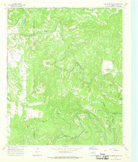
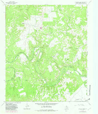
Sellers Hill rises as a prominent landmark in this section of Throckmorton County, overlooking a complex drainage system that feeds into North Elm Creek and Flat Creek. The landscape is defined by the branching tributaries of Tonk Creek, including its East Fork and West Fork, which carve through the terrain alongside Horse Creek and Tecumseh Creek.
Find a feature on this map
13 named features on this map. Tap any name to fly to it.
Don’t see what you’re looking for? This feature index may not catch every label — zoom into the map to look around manually.
Map Details
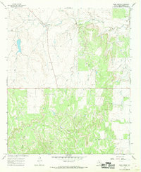
Editions of this 1966 Tonk Creek Map
2 editions found
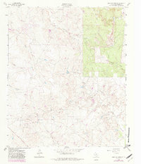
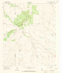
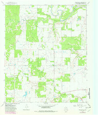
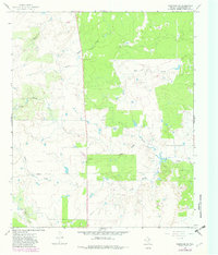
Historical Maps of Throckmorton County Through Time
60 maps found
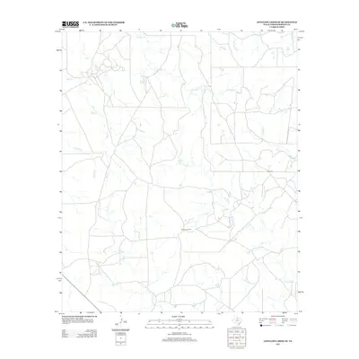
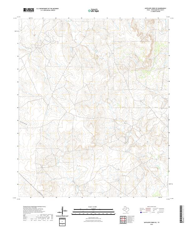
1962 Antelope Creek SE
Throckmorton County, TX
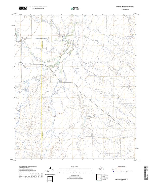
1962 Antelope Creek SW
Throckmorton County, TX
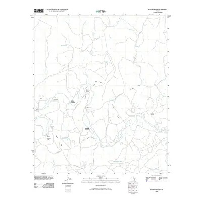
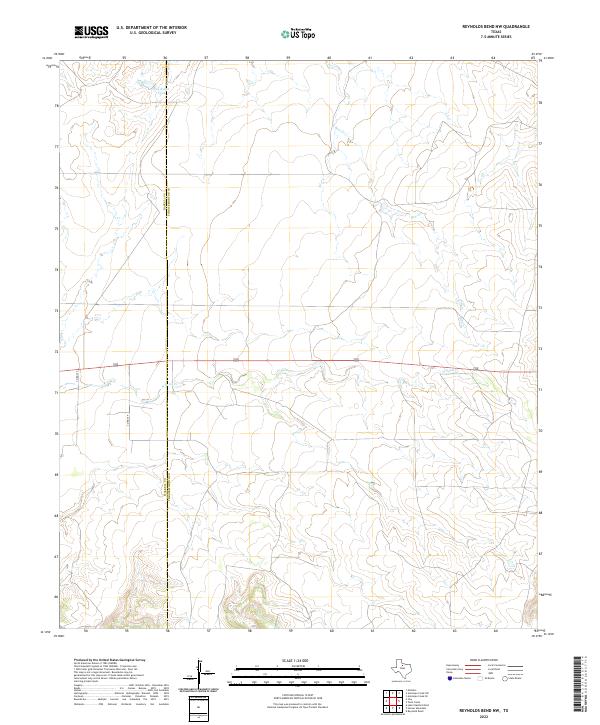
1965 Reynolds Bend NW
Throckmorton County, TX
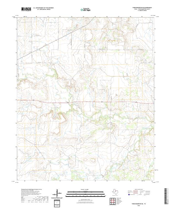
1965 Throckmorton NE
Throckmorton County, TX
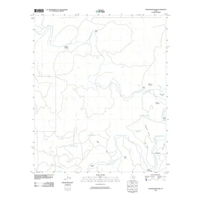
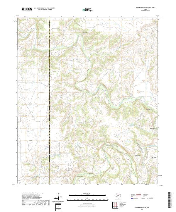
1966 Hoover Mountain
Throckmorton County, TX
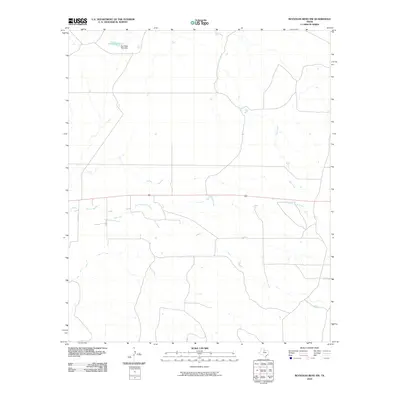
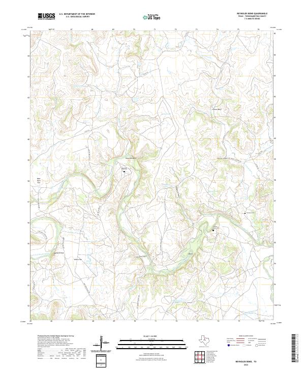
1966 Reynolds Bend
Throckmorton County, TX
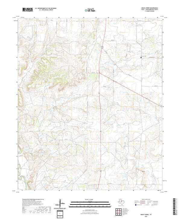
1966 Sibley Creek
Throckmorton County, TX
1966 Tonk Creek
Throckmorton County, TX
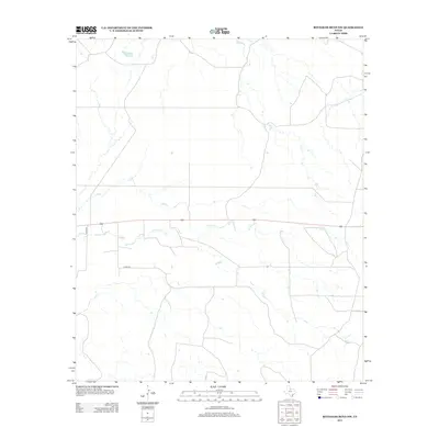
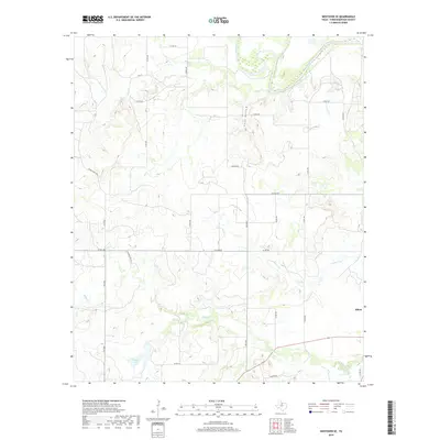
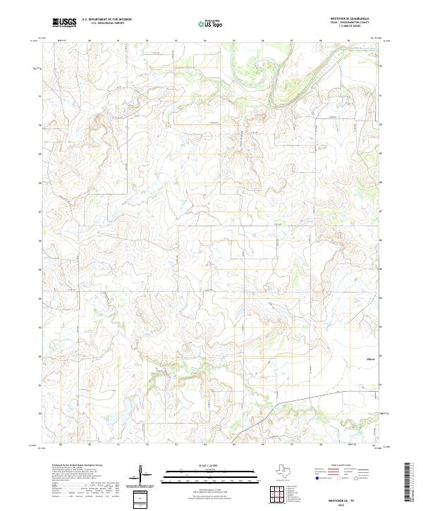
1966 Westover SE
Throckmorton County, TX
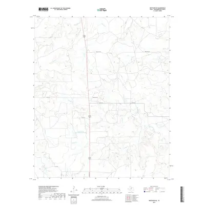
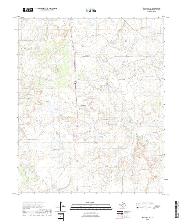
1966 Westover SW
Throckmorton County, TX
2010 Antelope Creek SE
Throckmorton County, TX
2010 Antelope Creek SW
Throckmorton County, TX
2010 Hoover Mountain
Throckmorton County, TX
2010 Reynolds Bend NW
Throckmorton County, TX
2010 Reynolds Bend
Throckmorton County, TX
2010 Sibley Creek
Throckmorton County, TX
2010 Throckmorton NE
Throckmorton County, TX
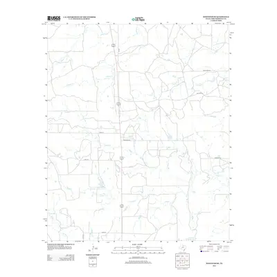
2010 Tonk Creek
Throckmorton County, TX
2010 Westover SE
Throckmorton County, TX
2010 Westover SW
Throckmorton County, TX
2012 Antelope Creek SE
Throckmorton County, TX
2012 Reynolds Bend NW
Throckmorton County, TX
2012 Westover SW
Throckmorton County, TX
2013 Antelope Creek SW
Throckmorton County, TX
2013 Hoover Mountain
Throckmorton County, TX
2013 Reynolds Bend
Throckmorton County, TX
2013 Sibley Creek
Throckmorton County, TX
2013 Throckmorton NE
Throckmorton County, TX
2013 Tonk Creek
Throckmorton County, TX
2013 Westover SE
Throckmorton County, TX
2016 Antelope Creek SE
Throckmorton County, TX
2016 Antelope Creek SW
Throckmorton County, TX
2016 Hoover Mountain
Throckmorton County, TX
2016 Reynolds Bend NW
Throckmorton County, TX
2016 Reynolds Bend
Throckmorton County, TX
2016 Sibley Creek
Throckmorton County, TX
2016 Throckmorton NE
Throckmorton County, TX
2016 Tonk Creek
Throckmorton County, TX
2016 Westover SE
Throckmorton County, TX
2016 Westover SW
Throckmorton County, TX
2019 Antelope Creek SE
Throckmorton County, TX

2019 Antelope Creek SW
Throckmorton County, TX
2019 Hoover Mountain
Throckmorton County, TX
2019 Reynolds Bend NW
Throckmorton County, TX
2019 Reynolds Bend
Throckmorton County, TX
2019 Sibley Creek
Throckmorton County, TX
2019 Throckmorton NE
Throckmorton County, TX
2019 Tonk Creek
Throckmorton County, TX
2019 Westover SE
Throckmorton County, TX
2019 Westover SW
Throckmorton County, TX
2022 Antelope Creek SE
Throckmorton County, TX
2022 Hoover Mountain
Throckmorton County, TX
2022 Reynolds Bend NW
Throckmorton County, TX
2022 Reynolds Bend
Throckmorton County, TX
2022 Sibley Creek
Throckmorton County, TX
2022 Throckmorton NE
Throckmorton County, TX
2022 Tonk Creek
Throckmorton County, TX
2022 Westover SE
Throckmorton County, TX
2022 Westover SW
Throckmorton County, TX
2023 Antelope Creek SW
Throckmorton County, TX