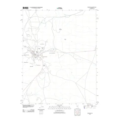
2012 Map of Tonopah
USGS Topo · Published 2012About this map
Tonopah's urban core and its surrounding peaks define this landscape, illustrating the spatial relationship between the town and its mineral history. Significant landmarks like the Tonopah Post Office and the industrial footprint of the McNamara Mill are visible near the western hills. The town is physically bounded by a series of named heights that speak to its prospecting past, including Mizpah Hill, Gold Hill, and Golden Mountain.
Find a feature on this map
36 named features on this map. Tap any name to fly to it.
Don’t see what you’re looking for? This feature index may not catch every label — zoom into the map to look around manually.
Map Details
Editions of this 2012 Tonopah Map
This is the sole edition of this map. No revisions or reprints were ever made.
Other maps of this area

1907 · Tonopah
USGS Topo · 1:250,000

1908 · Lida
USGS Topo · 1:250,000

1908 · Tonopah
USGS Topo · 1:250,000

1913 · Lida
USGS Topo · 1:250,000

1945 · Goldfield
USGS Topo · 1:125,000

1952 · Mud Lake
USGS Topo · 1:62,500

1954 · Goldfield
USGS Topo · 1:250,000

1955 · Goldfield
USGS Topo · 1:250,000

1956 · Tonopah
USGS Topo · 1:250,000

1958 · Goldfield
USGS Topo · 1:250,000