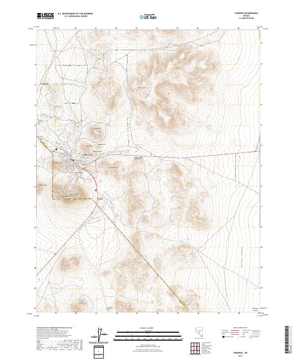
2021 Map of Tonopah
USGS Topo · Published 2021About this map
Tonopah serves as the focal point of this Nevada desert landscape, positioned where the high desert terrain transitions toward the San Antonio Mountains. The settlement’s footprint reflects its history as a regional hub, with streets and structures concentrated near Brougher Mtn and Mizpah Hill. The surrounding geography is defined by a series of prominent peaks and ridges, including Mt Oddie, Mt Butler, and Golden Mtn, which frame the valley. To the south, the terrain opens into the broad expanse of Ralston Valley, while the higher elevations of Booker Mtn rise to the north. This modern survey documents the contemporary extent of the town and its proximity to the distinctive volcanic and mineral-rich hills that have long shaped the local economy and identity.
Find a feature on this map
1 named feature on this map. Tap any name to fly to it.
Don’t see what you’re looking for? This feature index may not catch every label — zoom into the map to look around manually.
Map Details
Editions of this 2021 Tonopah Map
This is the sole edition of this map. No revisions or reprints were ever made.
Other maps of this area

1907 · Tonopah
USGS Topo · 1:250,000

1908 · Lida
USGS Topo · 1:250,000

1908 · Tonopah
USGS Topo · 1:250,000

1913 · Lida
USGS Topo · 1:250,000

1945 · Goldfield
USGS Topo · 1:125,000

1952 · Mud Lake
USGS Topo · 1:62,500

1954 · Goldfield
USGS Topo · 1:250,000

1955 · Goldfield
USGS Topo · 1:250,000

1956 · Tonopah
USGS Topo · 1:250,000

1958 · Goldfield
USGS Topo · 1:250,000