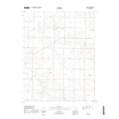
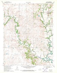
2018 Map of Tonovay
USGS Topo · Published 2018About this map
The settlement of Tonovay serves as the focal point of this Greenwood County landscape, situated where the terrain begins its descent toward the winding Fall River in the south. The area is defined by a dendritic drainage pattern where Bachelor Cr and Homer Cr cut through the plains, creating a network of draws like Tonovay Draw. This 2018 survey reveals a highly organized rural infrastructure, with a dense grid of township and county roads providing access to the vast agricultural sections of the Flint Hills region.
Find a feature on this map
31 named features on this map. Tap any name to fly to it.
Don’t see what you’re looking for? This feature index may not catch every label — zoom into the map to look around manually.
Map Details
Editions of this 2018 Tonovay Map
This is the sole edition of this map. No revisions or reprints were ever made.
Other maps of this area
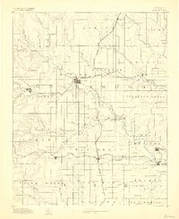
1885 · Eureka
USGS Topo · 1:125,000
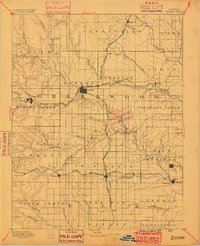
1888 · Eureka
USGS Topo · 1:125,000
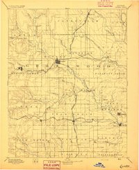
1894 · Eureka
USGS Topo · 1:125,000
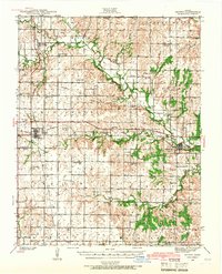
1939 · Severy
USGS Topo · 1:62,500
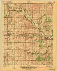
1941 · Severy
USGS Topo · 1:62,500

1955 · Wichita
USGS Topo · 1:250,000

1958 · Wichita
USGS Topo · 1:250,000
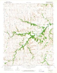
1964 · Piedmont NE
USGS Topo · 1:24,000
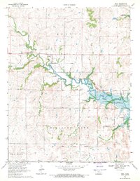
1969 · Neal
USGS Topo · 1:24,000
1969 · Virgil
USGS Topo · 1:24,000