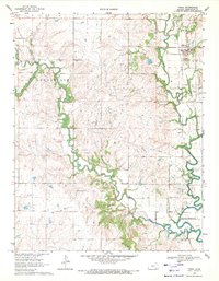
1969 Map of Virgil
USGS Topo · Published 1971About this map
The Verdigris River snakes through the eastern half of this landscape, its path defining the local geography as it flows toward the Toronto Reservoir. In the late 1960s, the economy of this Greenwood County region was deeply intertwined with energy extraction, evidenced by the extensive Virgil Oil Field and Seeley-Wick Oil Field that dominate the northern and central uplands. The town of Virgil sits as the primary settlement, supported by its proximity to the Verdigris River and the local petroleum industry.
Find a feature on this map
21 named features on this map. Tap any name to fly to it.
Don’t see what you’re looking for? This feature index may not catch every label — zoom into the map to look around manually.
Map Details
Editions of this 1969 Virgil Map
2 editions found
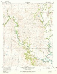
Other maps of this area

1885 · Burlington
USGS Topo · 1:125,000

1885 · Eureka
USGS Topo · 1:125,000

1886 · Fredonia
USGS Topo · 1:125,000

1888 · Emporia
USGS Topo · 1:125,000

1888 · Eureka
USGS Topo · 1:125,000

1894 · Emporia
USGS Topo · 1:125,000

1894 · Fredonia
USGS Topo · 1:125,000

1894 · Burlington
USGS Topo · 1:125,000

1894 · Eureka
USGS Topo · 1:125,000

1947 · Lawrence
USGS Topo · 1:250,000