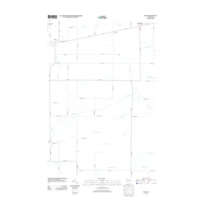
2013 Map of Tony
USGS Topo · Published 2013About this map
Tony and Glen Flora anchor this portion of Rusk County, positioned along the Us-8 corridor in a landscape defined by an intricate network of waterways. The geography is dominated by the westward-flowing drainage of Main Creek, which is fed by the N Fork Main Cr, Middle Fork Main Cr, and S Fork Main Cr. These streams create a distinct riparian pattern across the rural countryside, separated by a grid of local roads like Town Line Rd and Range Line Rd.
Find a feature on this map
50 named features on this map. Tap any name to fly to it.
Don’t see what you’re looking for? This feature index may not catch every label — zoom into the map to look around manually.
Map Details
Editions of this 2013 Tony Map
This is the sole edition of this map. No revisions or reprints were ever made.
Other maps of this area
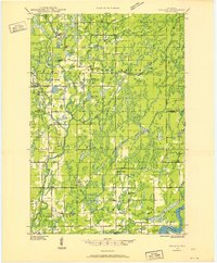
1944 · Exeland
USGS Topo · 1:48,000
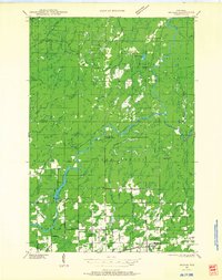
1945 · Ingram
USGS Topo · 1:48,000
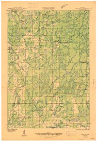
1947 · Exeland
USGS Topo · 1:48,000
1947 · Ingram
USGS Topo · 1:48,000
1947 · Sheldon
USGS Topo · 1:48,000
1948 · Ladysmith
USGS Topo · 1:48,000
1949 · Sheldon
USGS Topo · 1:48,000
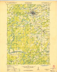
1950 · Ladysmith
USGS Topo · 1:48,000

1953 · Rice Lake
USGS Topo · 1:250,000

1959 · Rice Lake
USGS Topo · 1:250,000