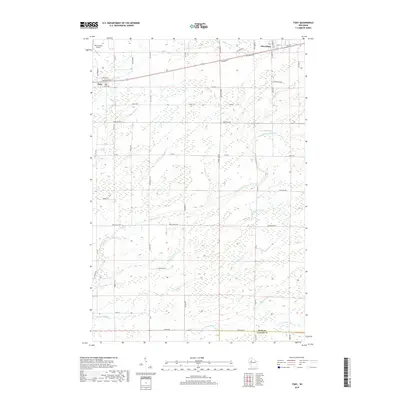
2018 Map of Tony
USGS Topo · Published 2018About this map
The village of Tony and the neighboring community of Glen Flora define the upper corridor of this Rusk County landscape. This 2018 survey reveals a terrain heavily shaped by its complex hydrology, with the Little Jump River and its various tributaries, including Main Creek and S Fork Main Cr, winding through a network of rural roads and section lines. The northern portion of the map is anchored by the Rusk County Airport just north of Tony, while the southern boundary follows the border of Rusk County and Taylor County. This modern topographic study shows the persistence of a traditional Midwestern grid-based settlement pattern, where small rural hubs are connected by thoroughfares like Co HWY I and Range Line Rd amid a dense system of creeks and drainage basins such as Skunk Cr and Deer Tail Cr.
Find a feature on this map
58 named features on this map. Tap any name to fly to it.
Don’t see what you’re looking for? This feature index may not catch every label — zoom into the map to look around manually.
Map Details
Editions of this 2018 Tony Map
This is the sole edition of this map. No revisions or reprints were ever made.
Other maps of this area

1944 · Exeland
USGS Topo · 1:48,000

1945 · Ingram
USGS Topo · 1:48,000

1947 · Exeland
USGS Topo · 1:48,000

1947 · Ingram
USGS Topo · 1:48,000

1947 · Sheldon
USGS Topo · 1:48,000

1948 · Ladysmith
USGS Topo · 1:48,000

1949 · Sheldon
USGS Topo · 1:48,000

1950 · Ladysmith
USGS Topo · 1:48,000

1953 · Rice Lake
USGS Topo · 1:250,000

1959 · Rice Lake
USGS Topo · 1:250,000