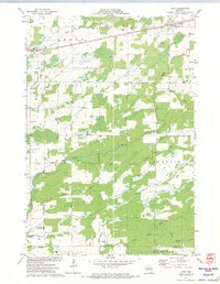
1971 Map of Tony
USGS Topo · Published 1974About this map
The Soo Line railroad corridor serves as the primary artery through this Rusk County landscape, anchoring the village of Tony and the community of Glen Flora in the north. This 1971 survey reveals a territory defined by an intricate network of waterways, where the Deer Tail Creek and the multiple branches of Main Creek—including the North Fork, Middle Fork, and South Fork—drain into the larger Jump River system.
Find a feature on this map
29 named features on this map. Tap any name to fly to it.
Don’t see what you’re looking for? This feature index may not catch every label — zoom into the map to look around manually.
Map Details
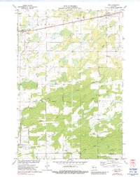
Editions of this 1971 Tony Map
2 editions found
Other maps of this area

1944 · Exeland
USGS Topo · 1:48,000

1945 · Ingram
USGS Topo · 1:48,000

1947 · Exeland
USGS Topo · 1:48,000

1947 · Ingram
USGS Topo · 1:48,000

1947 · Sheldon
USGS Topo · 1:48,000

1948 · Ladysmith
USGS Topo · 1:48,000

1949 · Sheldon
USGS Topo · 1:48,000

1950 · Ladysmith
USGS Topo · 1:48,000

1953 · Rice Lake
USGS Topo · 1:250,000

1959 · Rice Lake
USGS Topo · 1:250,000