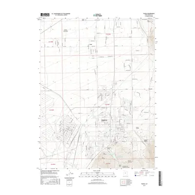
2017 Map of Tooele
USGS Topo · Published 2017About this map
Tooele and the northern reaches of the Oquirrh Mountains dominate this 2017 survey of the Tooele Valley. The landscape is a study in transition between the expanding residential grids of the city and the high peaks to the east, including Little Mtn and the steep drainages of Middle Canyon and Bates Canyon. The map reveals a sophisticated water management system for this arid environment, centered on the Settlement Canyon Reservoir and its associated canyon drainages, including the Left Hand Fork Settlement Canyon.
Find a feature on this map
172 named features on this map. Tap any name to fly to it.
Don’t see what you’re looking for? This feature index may not catch every label — zoom into the map to look around manually.
Map Details
Editions of this 2017 Tooele Map
This is the sole edition of this map. No revisions or reprints were ever made.
Other maps of this area

1885 · Tooele Valley
USGS Topo · 1:250,000

1915 · Fairfield
USGS Topo · 1:62,500

1917 · Fairfield
USGS Topo · 1:62,500

1918 · Stockton
USGS Topo · 1:62,500

1952 · Bingham Canyon
USGS Topo · 1:24,000

1952 · Garfield
USGS Topo · 1:24,000

1953 · Tooele
USGS Topo · 1:250,000

1955 · Mills Junction
USGS Topo · 1:24,000

1955 · Burmester
USGS Topo · 1:24,000

1955 · Grantsville
USGS Topo · 1:24,000