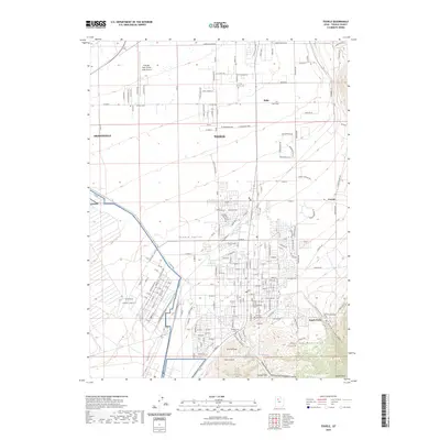
2023 Map of Tooele
USGS Topo · Published 2023About this map
The Tooele Valley is defined here by the meeting of high-mountain terrain and significant military and aviation infrastructure. The expansive Tooele Army Depot occupies the western portion of the map, while Bolinder Field-Tooele Valley Airport serves as a northern hub for the area. The residential and civic heart of the region is grounded by the Tooele County Court Building and several historic burial grounds, including the Erda Pioneer Cem and the Tooele First Cem. These sites provide crucial data for genealogists tracing early families in the county seat. To the southeast, the landscape rises sharply into the Oquirrh Mountains toward Tooele Peak, where the Settlement Canyon Reservoir and Middle Canyon offer a stark contrast to the grid-patterned growth of Tooele and Erda.
Find a feature on this map
67 named features on this map. Tap any name to fly to it.
Don’t see what you’re looking for? This feature index may not catch every label — zoom into the map to look around manually.
Map Details
Editions of this 2023 Tooele Map
This is the sole edition of this map. No revisions or reprints were ever made.
Other maps of this area

1885 · Tooele Valley
USGS Topo · 1:250,000

1915 · Fairfield
USGS Topo · 1:62,500

1917 · Fairfield
USGS Topo · 1:62,500

1918 · Stockton
USGS Topo · 1:62,500

1952 · Bingham Canyon
USGS Topo · 1:24,000

1952 · Garfield
USGS Topo · 1:24,000

1953 · Tooele
USGS Topo · 1:250,000

1955 · Mills Junction
USGS Topo · 1:24,000

1955 · Burmester
USGS Topo · 1:24,000

1955 · Grantsville
USGS Topo · 1:24,000