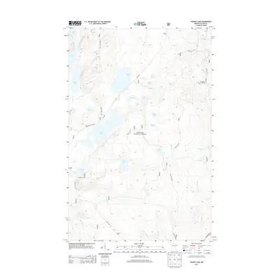
2013 Map of Toohey Lake
USGS Topo · Published 2013About this map
Superior National Forest defines the character of this Cook County landscape, where a dense network of water bodies and forest roads provides access to the North Woods. The map captures a high-elevation interior plateau where the Temperance River and Cross River systems originate. Notable for its recreation and resource management infrastructure, the area features the Temperance River Campground and primitive routes like The Grade and Timber Frear Loop. The hydrology is remarkably complex, centered on Toohey Lake and Fourmile Lake, alongside smaller basins like Wringer Lake and Pancake Lake. These features, along with the Sawbill Trl, illustrate the region's long-standing reliance on timber access and seasonal outdoor use in the early twenty-first century.
Find a feature on this map
36 named features on this map. Tap any name to fly to it.
Don’t see what you’re looking for? This feature index may not catch every label — zoom into the map to look around manually.
Map Details
Editions of this 2013 Toohey Lake Map
This is the sole edition of this map. No revisions or reprints were ever made.
Other maps of this area

1954 · Two Harbors
USGS Topo · 1:250,000

1955 · Tofte
USGS Topo · 1:24,000

1955 · Schroeder
USGS Topo · 1:24,000

1955 · Tofte
USGS Topo · 1:62,500

1955 · Cramer
USGS Topo · 1:62,500

1957 · Two Harbors
USGS Topo · 1:250,000

1958 · Two Harbors
USGS Topo · 1:250,000

1960 · Kawishiwi Lake
USGS Topo · 1:24,000

1960 · Sawbill Camp
USGS Topo · 1:24,000

1960 · Beth Lake
USGS Topo · 1:24,000