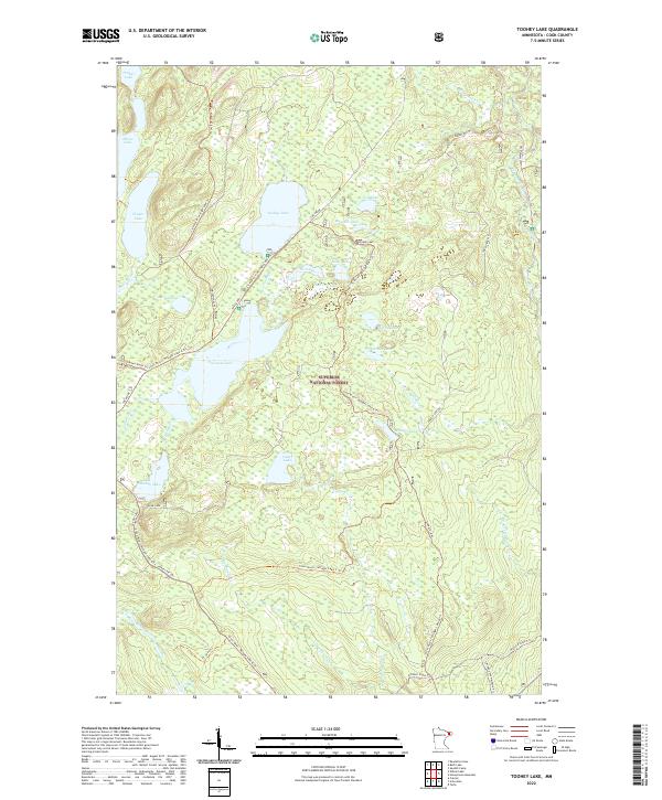
2022 Map of Toohey Lake
USGS Topo · Published 2022About this map
Superior National Forest encompasses this remote stretch of the Arrowhead region, where a dense network of water bodies and trails defines the landscape. The geography is characterized by numerous glacially-formed basins including Toohey Lake, Fourmile Lake, and the cluster of Soda Lake, Fox Lake, and East Fox Lake. Significant transit corridors for forestry and recreation traverse the territory, notably the road known as The Grade and the Sawbill Trl near the eastern boundary. The presence of specialized routes like the N Shore State Trl and Leveaux Snowmobile Trl indicates the area's primary modern use for outdoor tourism. Local drainage is managed by systems such as the Temperance River and Cross River, which connect the interior lakes through a web of smaller tributaries like Cedar Cr and Pancake Cr.
Find a feature on this map
48 named features on this map. Tap any name to fly to it.
Don’t see what you’re looking for? This feature index may not catch every label — zoom into the map to look around manually.
Map Details
Editions of this 2022 Toohey Lake Map
This is the sole edition of this map. No revisions or reprints were ever made.
Other maps of this area

1954 · Two Harbors
USGS Topo · 1:250,000

1955 · Tofte
USGS Topo · 1:24,000

1955 · Schroeder
USGS Topo · 1:24,000

1955 · Tofte
USGS Topo · 1:62,500

1955 · Cramer
USGS Topo · 1:62,500

1957 · Two Harbors
USGS Topo · 1:250,000

1958 · Two Harbors
USGS Topo · 1:250,000

1960 · Kawishiwi Lake
USGS Topo · 1:24,000

1960 · Sawbill Camp
USGS Topo · 1:24,000

1960 · Beth Lake
USGS Topo · 1:24,000