
1947 Map of Toomey
USGS Topo · Published 1947About this map
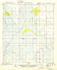
The Sabine River forms the winding western boundary of this 1947 study, where the intricate hydrology of Calcasieu Parish meets the Texas border. The landscape is defined by the heavy timber and wetlands of Tupelo Swamp and the meandering channels of Old River and Big Bayou. Unlike the more developed areas to the east, this region shows a transition from the dense river bottomlands to the beginning of the coastal prairie irrigation network via the Sabine Canal.
Find a feature on this map
15 named features on this map. Tap any name to fly to it.
Don’t see what you’re looking for? This feature index may not catch every label — zoom into the map to look around manually.
Map Details
Editions of this 1947 Toomey Map
This is the sole edition of this map. No revisions or reprints were ever made.
Other maps of this area

1926 · Mauriceville
USGS Topo · 1:24,000

1932 · Orange
USGS Topo · 1:62,500

1943 · Orangefield
USGS Topo · 1:24,000

1943 · Mauriceville
USGS Topo · 1:24,000

1946 · Phoenix Lake
USGS Topo · 1:31,680

1947 · Starks
USGS Topo · 1:31,680

1947 · Vinton
USGS Topo · 1:31,680

1947 · Lunita
USGS Topo · 1:31,680
1949 · Cameron Farms
USGS Topo · 1:31,680

1952 · Lake Charles
USGS Topo · 1:250,000