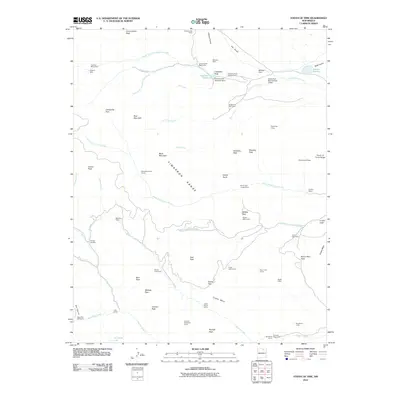
2010 Map of Tooth of Time
USGS Topo · Published 2010About this map
The Cimarron Range dominates this portion of Colfax County, defined by a complex network of high-elevation camps and steep geological formations. A notable concentration of backcountry sites and trail camps, such as Cimarroncito Base Camp, Beaubien Camp, and Miners Park Camp, suggests a landscape heavily used for organized outdoor activities and exploration. The presence of the Cyphers Mine and its associated Cyphers Mine Camp near the North Fork Cimarroncito Creek reflects the region's historical ties to mining. Topographic landmarks like the iconic Tooth of Time and the sprawling Urraca Mesa serve as primary anchors for navigation. Water management is evident through features like the Cimarroncito Reservoir and Webster Dam, which support drainage for the various forks of Rayado Creek and Bonito Creek as they flow through the mountain passes.
Find a feature on this map
74 named features on this map. Tap any name to fly to it.
Don’t see what you’re looking for? This feature index may not catch every label — zoom into the map to look around manually.
Map Details
Editions of this 2010 Tooth of Time Map
This is the sole edition of this map. No revisions or reprints were ever made.
Other maps of this area

1954 · Raton
USGS Topo · 1:250,000

1955 · Cimarron
USGS Topo · 1:62,500

1955 · Ute Park
USGS Topo · 1:62,500

1956 · Tooth Of Time
USGS Topo · 1:62,500

1956 · Miami
USGS Topo · 1:62,500

1958 · Raton
USGS Topo · 1:250,000

1981 · Springer
USGS Topo · 1:100,000

1981 · Raton
USGS Topo · 1:100,000

1982 · Wheeler Peak
USGS Topo · 1:100,000

1983 · Taos
USGS Topo · 1:100,000