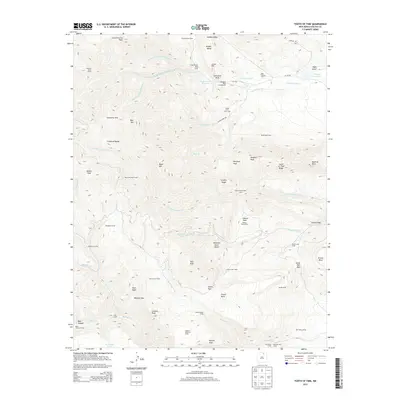
2013 Map of Tooth of Time
USGS Topo · Published 2013About this map
Philmont Scout Ranch serves as the focal point for this 2013 survey of the Sangre de Cristo Mountains, documenting a landscape defined by its network of backcountry camps and high-altitude landmarks. The topography is anchored by the iconic Tooth of Time and the Tooth of Time Ridge in the east, while the western reaches include high points like Bonito Peak and Bear Mtn. The map meticulously details the historic camp system, from Cimarroncito Camp near the Cimarroncito Reservoir to more remote outposts like Cyphers Mine Camp and Beaubien Camp. The drainage patterns of the North Fork Cimarroncito Cr and Rayado Cr illustrate the complex watershed that supports the high-desert ecology and local reservoirs, including Webster Reservoir. This edition provides an essential record of the ranch’s trails and geographic features as they stood in the early 21st century.
Find a feature on this map
69 named features on this map. Tap any name to fly to it.
Don’t see what you’re looking for? This feature index may not catch every label — zoom into the map to look around manually.
Map Details
Editions of this 2013 Tooth of Time Map
This is the sole edition of this map. No revisions or reprints were ever made.
Other maps of this area

1954 · Raton
USGS Topo · 1:250,000

1955 · Cimarron
USGS Topo · 1:62,500

1955 · Ute Park
USGS Topo · 1:62,500

1956 · Tooth Of Time
USGS Topo · 1:62,500

1956 · Miami
USGS Topo · 1:62,500

1958 · Raton
USGS Topo · 1:250,000

1981 · Springer
USGS Topo · 1:100,000

1981 · Raton
USGS Topo · 1:100,000

1982 · Wheeler Peak
USGS Topo · 1:100,000

1983 · Taos
USGS Topo · 1:100,000