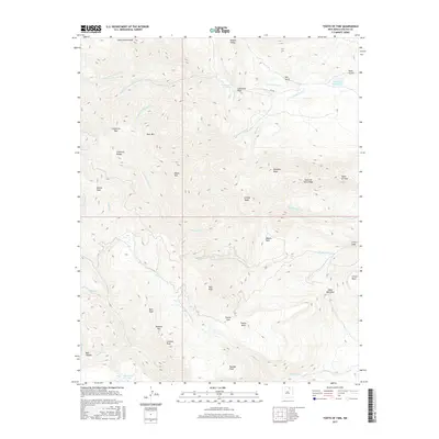
2017 Map of Tooth of Time
USGS Topo · Published 2017About this map
Miners Park and the prominent Tooth of Time formation anchor this section of the Cimarron Range in Colfax County. The landscape is defined by its complex hydrology and dramatic elevation changes, featuring a network of drainages including the N Fork Cimarroncito Cr and Rayado Cr. Human presence is marked by infrastructure like Cito Rd and water management features such as Cimarroncito Reservoir and Webster Reservoir.
Find a feature on this map
45 named features on this map. Tap any name to fly to it.
Don’t see what you’re looking for? This feature index may not catch every label — zoom into the map to look around manually.
Map Details
Editions of this 2017 Tooth of Time Map
This is the sole edition of this map. No revisions or reprints were ever made.
Other maps of this area

1954 · Raton
USGS Topo · 1:250,000

1955 · Cimarron
USGS Topo · 1:62,500

1955 · Ute Park
USGS Topo · 1:62,500

1956 · Tooth Of Time
USGS Topo · 1:62,500

1956 · Miami
USGS Topo · 1:62,500

1958 · Raton
USGS Topo · 1:250,000

1981 · Springer
USGS Topo · 1:100,000

1981 · Raton
USGS Topo · 1:100,000

1982 · Wheeler Peak
USGS Topo · 1:100,000

1983 · Taos
USGS Topo · 1:100,000