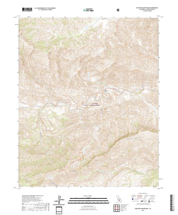
2022 Map of Topatopa Mountains
USGS Topo · Published 2022About this map
Los Padres National Forest contains the high-elevation wilderness of the Topatopa Mountains, a landscape defined by deep drainages and prominent summits like Hines Peak and San Rafael Peak. The area is centered on the protected Sespe Creek Wild and Scenic River, where the Sespe River winds through narrow canyons. Evidence of the region’s geothermal activity and remote backcountry access is visible at Willett Hot Springs, accessible via the Sespe River Trl. The map illustrates a primitive transportation network of ridgeline and canyon floor routes, including the Johnston Ridge Trl and Red Reef Trl. Significant flatlands such as Mutau Flat and Ten Sycamore Flat offer rare level ground amidst the steep terrain, while numerous seasonal watercourses like Timber Cr and Santa Paula Cr feed into the primary river systems.
Find a feature on this map
31 named features on this map. Tap any name to fly to it.
Don’t see what you’re looking for? This feature index may not catch every label — zoom into the map to look around manually.
Map Details
Editions of this 2022 Topatopa Mountains Map
This is the sole edition of this map. No revisions or reprints were ever made.
Other maps of this area

1900 · Piru
USGS Topo · 1:62,500

1903 · Santa Paula
USGS Topo · 1:62,500

1903 · Mt. Pinos
USGS Topo · 1:125,000

1903 · Tejon
USGS Topo · 1:125,000

1903 · Camulos
USGS Topo · 1:125,000

1921 · Piru
USGS Topo · 1:62,500

1941 · Piru
USGS Topo · 1:62,500

1942 · Santa Paula
USGS Topo · 1:62,500

1943 · Topatopa Mountains
USGS Topo · 1:24,000

1943 · San Guillermo
USGS Topo · 1:24,000