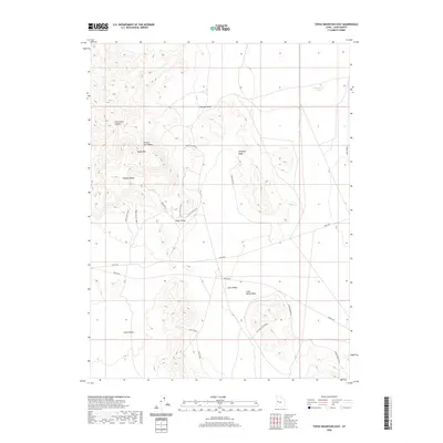
2020 Map of Topaz Mountain East
USGS Topo · Published 2020About this map
Topaz Mtn and the southeastern reaches of the Thomas Range anchor this 2020 landscape in Juab County. The geography is defined by a series of north-south valleys, including Dugway Valley, Topaz Valley, and Horse Valley, separated by prominent elevations like Antelope Ridge. A network of backcountry routes such as Topaz Mountain Rd and Weis Hwy provide access through the desert terrain, tracing the paths between drainage features like Picture Rock Wash and Starvation Canyon. To the northeast, the presence of Dead Horse Tank signifies the importance of water management in this arid environment. The map details a rugged interior where road names like Joy Topaz Crossover and Little Valley VW suggest a history of mineral exploration and ranching access within the public lands.
Find a feature on this map
25 named features on this map. Tap any name to fly to it.
Don’t see what you’re looking for? This feature index may not catch every label — zoom into the map to look around manually.
Map Details
Editions of this 2020 Topaz Mountain East Map
This is the sole edition of this map. No revisions or reprints were ever made.
Other maps of this area

1885 · Sevier Desert
USGS Topo · 1:250,000

1908 · Fish Springs
USGS Topo · 1:250,000

1910 · Fish Springs
USGS Topo · 1:250,000

1953 · Dugway Pass
USGS Topo · 1:24,000

1953 · Dugway Range
USGS Topo · 1:62,500

1953 · Topaz Mtn
USGS Topo · 1:62,500

1953 · Delta
USGS Topo · 1:250,000

1958 · Delta
USGS Topo · 1:250,000

1962 · Delta
USGS Topo · 1:250,000

1971 · Picture Rock Hills
USGS Topo · 1:24,000