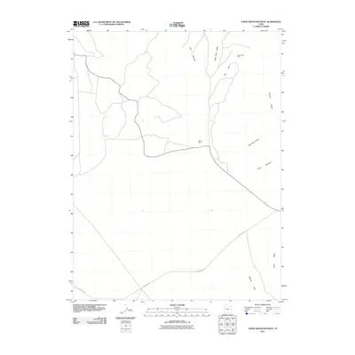
2011 Map of Topaz Mountain West
USGS Topo · Published 2011About this map
Mining operations and desert terrain define this corner of Juab County in the early 21st century. The Thomas Range dominates the eastern portion of the landscape, where geological interests center on Topaz Mountain and the deep cut of Starvation Canyon. Extraction history is marked by the Yellow Chief Mine near The Dell and the Bell Hill Mine further south, illustrating the industrial footprint on this arid region.
Find a feature on this map
11 named features on this map. Tap any name to fly to it.
Don’t see what you’re looking for? This feature index may not catch every label — zoom into the map to look around manually.
Map Details
Editions of this 2011 Topaz Mountain West Map
This is the sole edition of this map. No revisions or reprints were ever made.
Other maps of this area

1908 · Fish Springs
USGS Topo · 1:250,000

1910 · Fish Springs
USGS Topo · 1:250,000

1953 · Dugway Pass
USGS Topo · 1:24,000

1953 · Dugway Range
USGS Topo · 1:62,500

1953 · Topaz Mtn
USGS Topo · 1:62,500

1953 · Delta
USGS Topo · 1:250,000

1958 · Delta
USGS Topo · 1:250,000

1962 · Delta
USGS Topo · 1:250,000

1967 · Sand Pass SE
USGS Topo · 1:24,000

1967 · Fish Springs SE
USGS Topo · 1:24,000