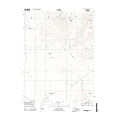
2014 Map of Topaz Mountain West
USGS Topo · Published 2014About this map
Spor Mtn and the western reaches of the Thomas Range define the high ground of this arid Juab County landscape. The area is marked by a complex network of industrial and access routes, including Brush Beryllium and Flourspar, which signal the region's long-standing connection to mineral extraction. In the north, The Dell sits tucked between the peaks and the Eagle Rock Ridge, while the eastern terrain is cut by the dramatic Starvation Canyon. The desert floor is interconnected by numerous named primitive roads and tracks like Rough Son-Of-A-Gun Rd and Lost Sheep, while the southern expanse is dominated by the Weiss Hwy near Swasey Knolls Wash. These features reflect a working landscape shaped by both the geology of the Great Basin and the infrastructure required to navigate its remote interior.
Find a feature on this map
41 named features on this map. Tap any name to fly to it.
Don’t see what you’re looking for? This feature index may not catch every label — zoom into the map to look around manually.
Map Details
Editions of this 2014 Topaz Mountain West Map
This is the sole edition of this map. No revisions or reprints were ever made.
Other maps of this area

1908 · Fish Springs
USGS Topo · 1:250,000

1910 · Fish Springs
USGS Topo · 1:250,000

1953 · Dugway Pass
USGS Topo · 1:24,000

1953 · Dugway Range
USGS Topo · 1:62,500

1953 · Topaz Mtn
USGS Topo · 1:62,500

1953 · Delta
USGS Topo · 1:250,000

1958 · Delta
USGS Topo · 1:250,000

1962 · Delta
USGS Topo · 1:250,000

1967 · Sand Pass SE
USGS Topo · 1:24,000

1967 · Fish Springs SE
USGS Topo · 1:24,000