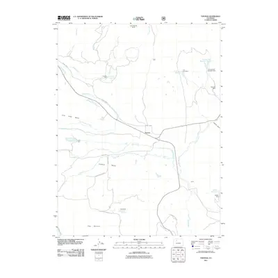
2011 Map of Toponas
USGS Topo · Published 2011About this map
Toponas sits at the junction of several county routes in this high-altitude landscape of Routt County, where ranching and water management define the local geography. The map illustrates an extensive network of small-scale irrigation and livestock water storage, including Kelly Reservoir, Crowner Reservoir, and the E M Curry Reservoir. These features, alongside the Five Pine Mesa Ditch, indicate the persistent efforts to manage the flow of Egeria Creek and King Creek across the volcanic terrain of Five Pine Mesa. To the north, Lone Spring Butte and the distinctive Toponas Rock rise above the basin, serving as prominent landmarks for navigation in this relatively open country. The presence of smaller settlements like Egeria and infrastructure like the BLM King Mountain Rd highlight the area's mix of private landholdings and public management at the turn of the 21st century.
Find a feature on this map
40 named features on this map. Tap any name to fly to it.
Don’t see what you’re looking for? This feature index may not catch every label — zoom into the map to look around manually.
Map Details
Editions of this 2011 Toponas Map
This is the sole edition of this map. No revisions or reprints were ever made.
Other maps of this area
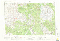
1954 · Craig
USGS Topo · 1:250,000
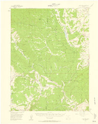
1956 · Gore Pass
USGS Topo · 1:62,500
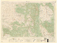
1957 · Craig
USGS Topo · 1:250,000
1957 · Leadville
USGS Topo · 1:250,000
1958 · Craig
USGS Topo · 1:250,000
1959 · Leadville
USGS Topo · 1:250,000
1960 · Leadville
USGS Topo · 1:250,000
1960 · Craig
USGS Topo · 1:250,000
1962 · Leadville
USGS Topo · 1:250,000
1962 · Craig
USGS Topo · 1:250,000