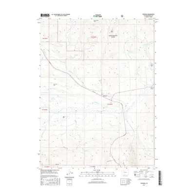
2016 Map of Toponas
USGS Topo · Published 2016About this map
Toponas sits at a geographic crossroads in this 2016 survey, where the sagebrush flats of Egeria Park meet the rising slopes of the Routt National Forest. The landscape is defined by an intricate network of water management, illustrated by the Five Pine Mesa Ditch and several named catchments including Kelly Reservoir and the E M Curry Reservoir. High points like Toponas Rock and Lone Spring Butte provide distinctive vertical relief against the valley floor, while the southern reaches are dominated by the massif of King Mtn. The transport pattern is anchored by Lincoln St and various rural routes such as RCR 5, which facilitate access to the timbered heights of Green Ridge and the grazing lands that characterize this part of the county.
Find a feature on this map
42 named features on this map. Tap any name to fly to it.
Don’t see what you’re looking for? This feature index may not catch every label — zoom into the map to look around manually.
Map Details
Editions of this 2016 Toponas Map
This is the sole edition of this map. No revisions or reprints were ever made.
Other maps of this area

1954 · Craig
USGS Topo · 1:250,000

1956 · Gore Pass
USGS Topo · 1:62,500

1957 · Craig
USGS Topo · 1:250,000

1957 · Leadville
USGS Topo · 1:250,000

1958 · Craig
USGS Topo · 1:250,000

1959 · Leadville
USGS Topo · 1:250,000

1960 · Leadville
USGS Topo · 1:250,000

1960 · Craig
USGS Topo · 1:250,000

1962 · Leadville
USGS Topo · 1:250,000

1962 · Craig
USGS Topo · 1:250,000