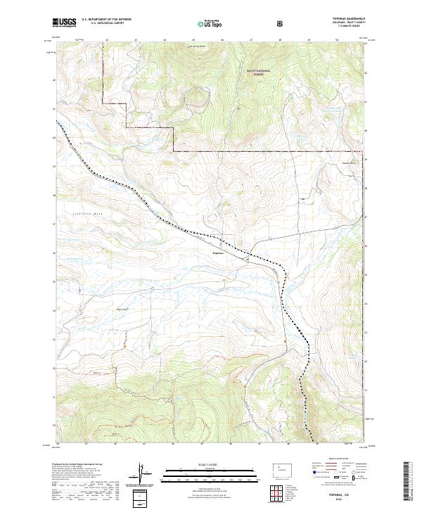
2022 Map of Toponas
USGS Topo · Published 2022About this map
Toponas and the high-elevation flats of Egeria Park define the central landscape of this Colorado mountain survey. Located at the intersection of Lincoln St and various county roads, the settlement of Toponas sits at the foot of Five Pine Mesa, where a network of seasonal watercourses like Egeria Cr and Toponas Cr drain the surrounding heights. The area is characterized by a high-country water management system comprising numerous storage sites, including Crowner Reservoir, Noble Reservoir, and Kelly Reservoir, which support the ranching and agricultural operations in the valley.
Find a feature on this map
47 named features on this map. Tap any name to fly to it.
Don’t see what you’re looking for? This feature index may not catch every label — zoom into the map to look around manually.
Map Details
Editions of this 2022 Toponas Map
This is the sole edition of this map. No revisions or reprints were ever made.
Other maps of this area

1954 · Craig
USGS Topo · 1:250,000

1956 · Gore Pass
USGS Topo · 1:62,500

1957 · Craig
USGS Topo · 1:250,000

1957 · Leadville
USGS Topo · 1:250,000

1958 · Craig
USGS Topo · 1:250,000

1959 · Leadville
USGS Topo · 1:250,000

1960 · Leadville
USGS Topo · 1:250,000

1960 · Craig
USGS Topo · 1:250,000

1962 · Leadville
USGS Topo · 1:250,000

1962 · Craig
USGS Topo · 1:250,000