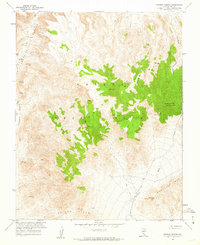
1961 Map of Topopah Spring
USGS Topo · Published 1962About this map
The Nevada Test Site dominates this 1961 landscape, a region where federal research and the high desert of Nye County intersect. This specific area, mapped in cooperation with the Atomic Energy Commission, is defined by the massive volcanic ridges of Shoshone Mountain and the Calico Hills. Cultural features are sparse but significant, including a lone Ruin near Topopah Spring and various Mines and a Prospect located along the base of the mountains.
Find a feature on this map
35 named features on this map. Tap any name to fly to it.
Don’t see what you’re looking for? This feature index may not catch every label — zoom into the map to look around manually.
Map Details
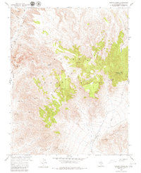
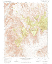
Editions of this 1961 Topopah Spring Map
3 editions found
Other maps of this area

1908 · Kawich
USGS Topo · 1:250,000

1908 · Furnace Creek
USGS Topo · 1:250,000

1910 · Furnace Creek
USGS Topo · 1:250,000

1942 · Wheelbarrow Peak
USGS Topo · 1:125,000

1942 · Skull Mountain
USGS Topo · 1:125,000

1948 · Death Valley
USGS Topo · 1:250,000

1952 · Topopah Spring
USGS Topo · 1:62,500

1952 · Tippipah Spring
USGS Topo · 1:62,500

1952 · Timber Mountain
USGS Topo · 1:62,500
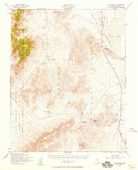
1952 · Cane Spring
USGS Topo · 1:62,500