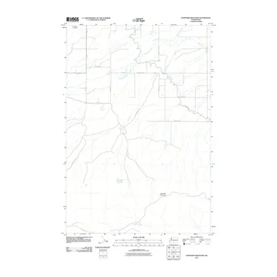
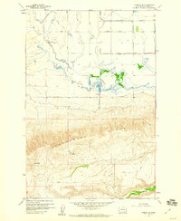
2011 Map of Toppenish Mountain
USGS Topo · Published 2011About this map
Toppenish Mountain anchors this landscape in Yakima County, where the high terrain transitions into a complex network of drainages and irrigation infrastructure. The northern reaches of the quadrangle are marked by the presence of Saint Marys Cemetery, situated near a grid of local roads like Mission Rd and Shaker Church Rd. As the land drops toward the valley, the hydrology becomes the primary feature, with Toppenish Creek and Mill Creek winding through the territory alongside engineered water ways such as the Unit 2 Canal. To the south, the map tracks the flow of Seattle Creek and the seclusion of Olney Lake, while the Mt Adams Hwy serves as a primary north-south artery. The map's detail provides a record of land use on the Yakama Reservation, illustrating the intersection of natural watercourses and the developing road system of the early twenty-first century.
Find a feature on this map
19 named features on this map. Tap any name to fly to it.
Don’t see what you’re looking for? This feature index may not catch every label — zoom into the map to look around manually.
Map Details
Editions of this 2011 Toppenish Mountain Map
This is the sole edition of this map. No revisions or reprints were ever made.
Other maps of this area
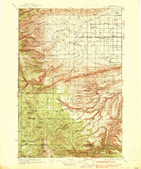
1937 · White Swan
USGS Topo · 1:125,000

1950 · Yakima
USGS Topo · 1:250,000
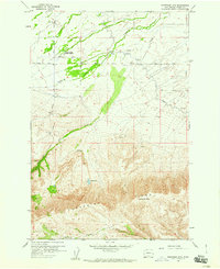
1958 · Toppenish Mtn.
USGS Topo · 1:24,000
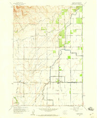
1958 · Harrah
USGS Topo · 1:24,000
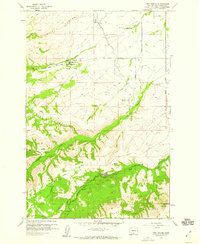
1958 · Fort Simcoe
USGS Topo · 1:24,000
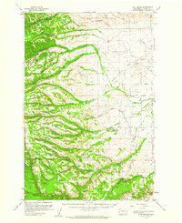
1958 · Fort Simcoe
USGS Topo · 1:62,500
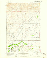
1958 · White Swan
USGS Topo · 1:24,000
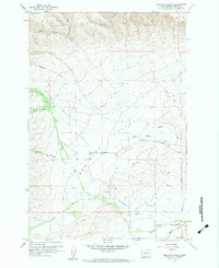
1958 · Medicine Valley
USGS Topo · 1:24,000
1958 · Harrah SE
USGS Topo · 1:24,000

1958 · Yakima
USGS Topo · 1:250,000