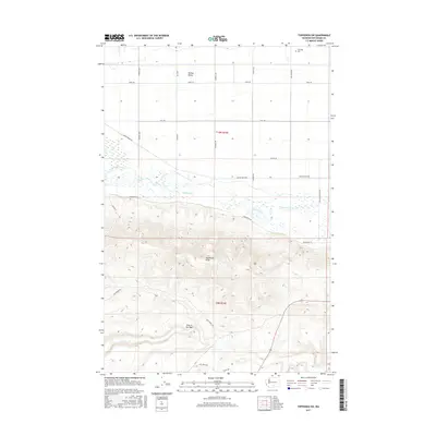
2017 Map of Toppenish SW
USGS Topo · Published 2017About this map
Yakima Valley agricultural lands meet the rising elevation of Toppenish Ridge in this 2017 survey of Yakima County. The northern half of the map is defined by a strictly organized grid of rural routes, including Ashue Rd and S Wapato Rd, which service the lowlands north of Toppenish Creek. This drainage system, which includes Snake Creek and Marion Drain Rd, reflects the managed water resources essential to the region's valley floor operations.
Find a feature on this map
26 named features on this map. Tap any name to fly to it.
Don’t see what you’re looking for? This feature index may not catch every label — zoom into the map to look around manually.
Map Details
Editions of this 2017 Toppenish SW Map
This is the sole edition of this map. No revisions or reprints were ever made.
Other maps of this area

1910 · Zillah
USGS Topo · 1:125,000

1937 · White Swan
USGS Topo · 1:125,000

1950 · Yakima
USGS Topo · 1:250,000

1958 · Hembre Mtn
USGS Topo · 1:24,000

1958 · Toppenish SW
USGS Topo · 1:24,000

1958 · Harrah
USGS Topo · 1:24,000
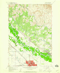
1958 · Toppenish
USGS Topo · 1:24,000

1958 · Harrah SE
USGS Topo · 1:24,000
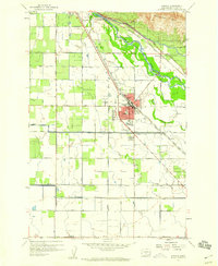
1958 · Wapato
USGS Topo · 1:24,000

1958 · Yakima
USGS Topo · 1:250,000