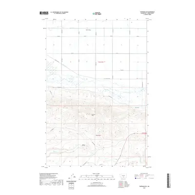
2020 Map of Toppenish SW
USGS Topo · Published 2020About this map
Yakima Valley agricultural lands give way to the prominent elevation of Toppenish Ridge in this contemporary overview of south-central Washington. The northern portion of the landscape is defined by an intricate network of irrigation and drainage features, including Drain 4, Lateral 4, and the Marion Drain, which support the region’s intensive farming. As the terrain rises toward the south, the grid of section roads like Ashue Rd and Campbell Rd yields to more winding routes such as Oak Spring Rd. A distinctive geological break known as Hole in the Wall sits near the headwaters of Dry Cr, marking the transition into the higher, more broken country. The meandering paths of Toppenish Creek and Snake Creek provide a natural contrast to the engineered waterways of the valley floor, illustrating the complex relationship between the natural watershed and human land use.
Find a feature on this map
30 named features on this map. Tap any name to fly to it.
Don’t see what you’re looking for? This feature index may not catch every label — zoom into the map to look around manually.
Map Details
Editions of this 2020 Toppenish SW Map
This is the sole edition of this map. No revisions or reprints were ever made.
Other maps of this area

1910 · Zillah
USGS Topo · 1:125,000

1937 · White Swan
USGS Topo · 1:125,000

1950 · Yakima
USGS Topo · 1:250,000

1958 · Hembre Mtn
USGS Topo · 1:24,000

1958 · Toppenish SW
USGS Topo · 1:24,000

1958 · Harrah
USGS Topo · 1:24,000
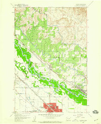
1958 · Toppenish
USGS Topo · 1:24,000

1958 · Harrah SE
USGS Topo · 1:24,000
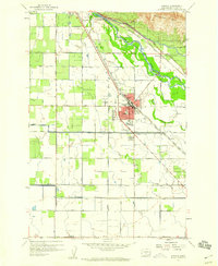
1958 · Wapato
USGS Topo · 1:24,000

1958 · Yakima
USGS Topo · 1:250,000