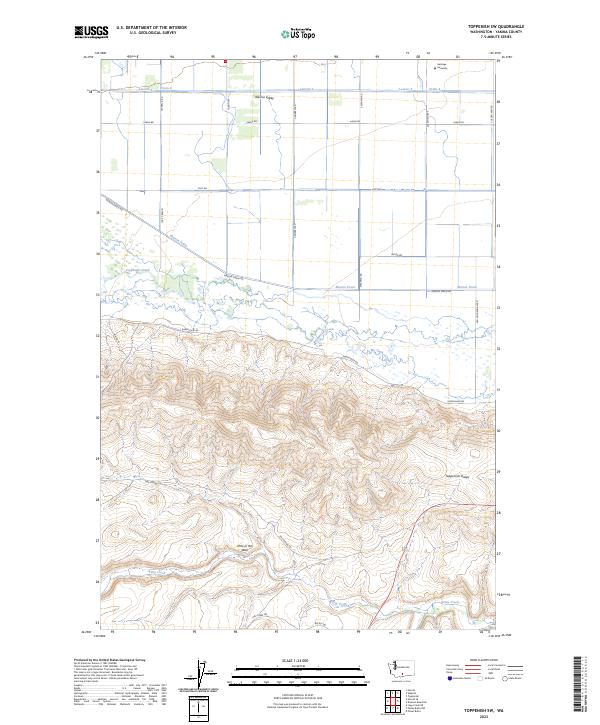
2023 Map of Toppenish SW
USGS Topo · Published 2023About this map
The Yakima Valley landscape transitions sharply from the irrigated agricultural plains of the north to the uplifted terrain of Toppenish Ridge in the south. This area is defined by a sophisticated water management system, where features like Lateral 4 and Marion Drain channel water across the flats to support the region's farms. At the center of this hydrological network lies the Toppenish National Wildlife Refuge, a protected riparian zone where Toppenish Creek and Snake Creek meander through the valley floor. To the south, the elevation rises toward the ridge, characterized by geographic landmarks such as Hole in the Wall. The presence of Heritage University near the northern boundary marks a modern center of learning within this historic tribal and agricultural corridor. Local roads like Old Goldendale Rd and Pumphouse Rd provide the primary access through these diverse environments.
Find a feature on this map
30 named features on this map. Tap any name to fly to it.
Don’t see what you’re looking for? This feature index may not catch every label — zoom into the map to look around manually.
Map Details
Editions of this 2023 Toppenish SW Map
This is the sole edition of this map. No revisions or reprints were ever made.
Other maps of this area

1910 · Zillah
USGS Topo · 1:125,000

1937 · White Swan
USGS Topo · 1:125,000

1950 · Yakima
USGS Topo · 1:250,000

1958 · Hembre Mtn
USGS Topo · 1:24,000

1958 · Toppenish SW
USGS Topo · 1:24,000

1958 · Harrah
USGS Topo · 1:24,000
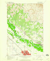
1958 · Toppenish
USGS Topo · 1:24,000

1958 · Harrah SE
USGS Topo · 1:24,000
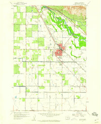
1958 · Wapato
USGS Topo · 1:24,000

1958 · Yakima
USGS Topo · 1:250,000