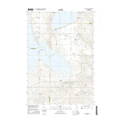
2017 Map of Torch River
USGS Topo · Published 2017About this map
Torch Lake and Lake Skegemog dominate this 2017 landscape where the boundaries of Antrim, Kalkaska, and Grand Traverse counties converge. The intricate waterway of the Torch River serves as the connective artery between these major basins, passing through the small settlement of Torch River. To the east, the Rapid River flows toward the community of Rapid City, while the southern reaches are defined by the winding course of Desmond Cr and the rural crossroads of Barker Creek.
Find a feature on this map
100 named features on this map. Tap any name to fly to it.
Don’t see what you’re looking for? This feature index may not catch every label — zoom into the map to look around manually.
Map Details
Editions of this 2017 Torch River Map
This is the sole edition of this map. No revisions or reprints were ever made.
Other maps of this area

1954 · Traverse City
USGS Topo · 1:250,000

1956 · Mancelona
USGS Topo · 1:62,500

1956 · Kalkaska
USGS Topo · 1:62,500

1956 · Fife Lake
USGS Topo · 1:62,500

1957 · Elk Rapids
USGS Topo · 1:62,500

1958 · Traverse City
USGS Topo · 1:250,000

1975 · Mancelona NW
USGS Topo · 1:24,000

1983 · Traverse City
USGS Topo · 1:100,000
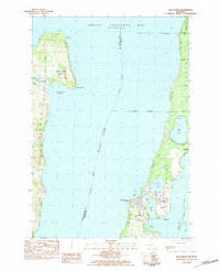
1983 · Elk Rapids
USGS Topo · 1:25,000
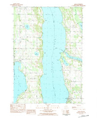
1983 · Alden
USGS Topo · 1:24,000