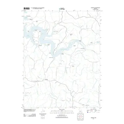
2011 Map of Toronto
USGS Topo · Published 2011About this map
Lake of the Ozarks dominates the northern landscape of this region, with the Grandglaize Arm cutting deep into the terrain. Much of the shoreline is protected within Lake of the Ozarks St Park, which features various recreational sites like Camp Rising Sun and the Kaiser Lookout Tower. Small settlements such as Passover and Freedom are scattered across the higher ground, while the eponymous Toronto sits in the southeast corner near Wet Glaize Creek.
Find a feature on this map
82 named features on this map. Tap any name to fly to it.
Don’t see what you’re looking for? This feature index may not catch every label — zoom into the map to look around manually.
Map Details
Editions of this 2011 Toronto Map
This is the sole edition of this map. No revisions or reprints were ever made.
Other maps of this area

1888 · Versailles
USGS Topo · 1:125,000

1888 · Tuscumbia
USGS Topo · 1:125,000

1893 · Versailles
USGS Topo · 1:125,000

1894 · Tuscumbia
USGS Topo · 1:125,000

1932 · Versailles No 4
USGS Topo · 1:48,000

1933 · Stoutland
USGS Topo · 1:62,500

1933 · Iberia
USGS Topo · 1:62,500

1934 · Camdenton
USGS Topo · 1:24,000

1934 · Toronto
USGS Topo · 1:24,000

1934 · Lake Ozark
USGS Topo · 1:24,000