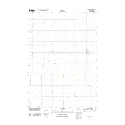
2012 Map of Toronto
USGS Topo · Published 2012About this map
Toronto stands as the primary settlement on this Deuel County landscape, organized by a strict grid of section roads and rural homesteads. The agricultural character of the region is punctuated by a series of family and community burial grounds, including Blom Prairie Cem, Mikkelson Cem, and Leganger Cem, which offer significant touchpoints for genealogical research in this part of South Dakota. The terrain is defined by a network of prairie drainage systems, with N Deer Cr and its tributaries winding through the fields. Other local water features like Bullhead Run and Peg Munky Run follow the subtle contours of the land, illustrating the natural water management of the upper Midwest prairie.
Find a feature on this map
9 named features on this map. Tap any name to fly to it.
Don’t see what you’re looking for? This feature index may not catch every label — zoom into the map to look around manually.
Map Details
Editions of this 2012 Toronto Map
This is the sole edition of this map. No revisions or reprints were ever made.
Other maps of this area

1953 · Watertown
USGS Topo · 1:250,000

1958 · Watertown
USGS Topo · 1:250,000

1968 · Brookings NE
USGS Topo · 1:24,000

1970 · Brandt
USGS Topo · 1:24,000

1970 · White NE
USGS Topo · 1:24,000

1970 · Astoria
USGS Topo · 1:24,000

1970 · White
USGS Topo · 1:24,000

1970 · Clear Lake South
USGS Topo · 1:24,000

1970 · Estelline SE
USGS Topo · 1:24,000

1970 · Estelline NE
USGS Topo · 1:24,000