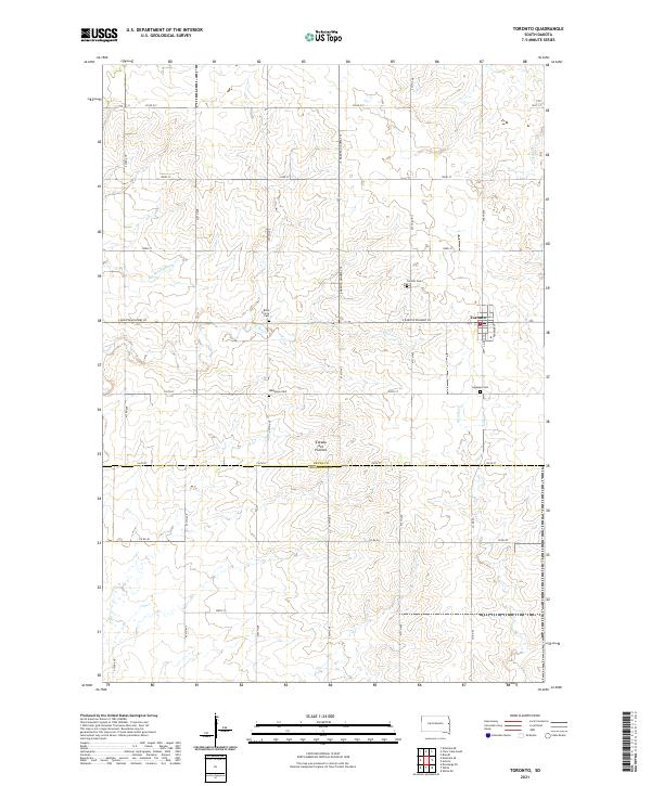
2021 Map of Toronto
USGS Topo · Published 2021About this map
Toronto stands as the primary settlement within this section of the Coteau des Prairies plateau, where the landscape is defined by a grid of rural section roads and small drainage runs. The area's pioneer heritage is preserved through several family and community burial grounds, including the Blom Prairie Cem and Mikkelson Cem located west and south of the town center. The headwaters of several local streams, such as Peg Munky Run, N Deer Cr, and Sixmile Cr, carve subtle paths through the upland prairie, illustrating the drainage patterns of the Deuel and Brookings County line. The map captures the intersection of S Dakota Highway 28 and S Dakota Highway 15, which continue to serve as the backbone for the agricultural transport network in this part of eastern South Dakota.
Find a feature on this map
34 named features on this map. Tap any name to fly to it.
Don’t see what you’re looking for? This feature index may not catch every label — zoom into the map to look around manually.
Map Details
Editions of this 2021 Toronto Map
This is the sole edition of this map. No revisions or reprints were ever made.
Other maps of this area

1953 · Watertown
USGS Topo · 1:250,000

1958 · Watertown
USGS Topo · 1:250,000

1968 · Brookings NE
USGS Topo · 1:24,000

1970 · Brandt
USGS Topo · 1:24,000

1970 · White NE
USGS Topo · 1:24,000

1970 · Astoria
USGS Topo · 1:24,000

1970 · White
USGS Topo · 1:24,000

1970 · Clear Lake South
USGS Topo · 1:24,000

1970 · Estelline SE
USGS Topo · 1:24,000

1970 · Estelline NE
USGS Topo · 1:24,000