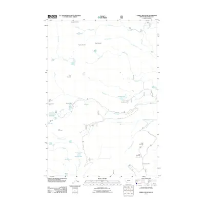
2011 Map of Torrey Mountain
USGS Topo · Published 2011About this map
Tweedy Mountain and Torrey Mountain anchor this high-elevation portion of the Pioneer Mountains in Beaverhead County. The terrain is defined by a dense network of subalpine lakes and the headwaters of numerous creeks, including the drainage of Gorge Creek near Winkley Camp. A legacy of high-altitude extraction is evident on the eastern slopes of Tower Mountain, where the Indian Squaw Mine, US Treasurer Mine, and Humbolt Mountain Mine are situated. Water management for the region is marked by several small-scale infrastructures, such as the Dearhead Lake Dam and Boot Lake Dam. Access to these remote reaches is maintained via rugged corridors like Birch Creek Rd and Mule Creek Rd, which trace the narrow valley floors between steep peaks.
Find a feature on this map
49 named features on this map. Tap any name to fly to it.
Don’t see what you’re looking for? This feature index may not catch every label — zoom into the map to look around manually.
Map Details
Editions of this 2011 Torrey Mountain Map
This is the sole edition of this map. No revisions or reprints were ever made.
Other maps of this area

1893 · Dillon
USGS Topo · 1:250,000

1952 · Twin Adams Mountain
USGS Topo · 1:24,000

1952 · Argenta
USGS Topo · 1:24,000

1952 · Torrey Mountain
USGS Topo · 1:24,000

1952 · Ermont
USGS Topo · 1:24,000

1955 · Dillon
USGS Topo · 1:250,000

1957 · Dillon
USGS Topo · 1:250,000

1958 · Dillon
USGS Topo · 1:250,000

1958 · Vipond Park
USGS Topo · 1:62,500

1959 · Polaris
USGS Topo · 1:62,500